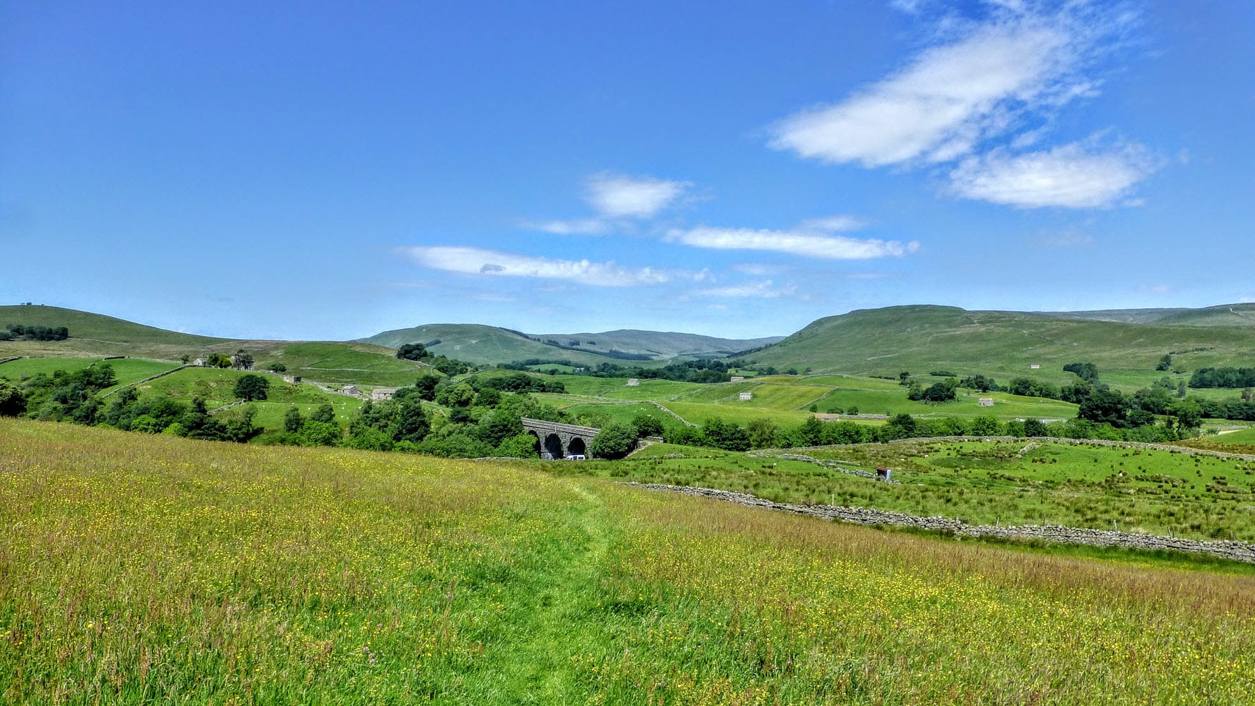
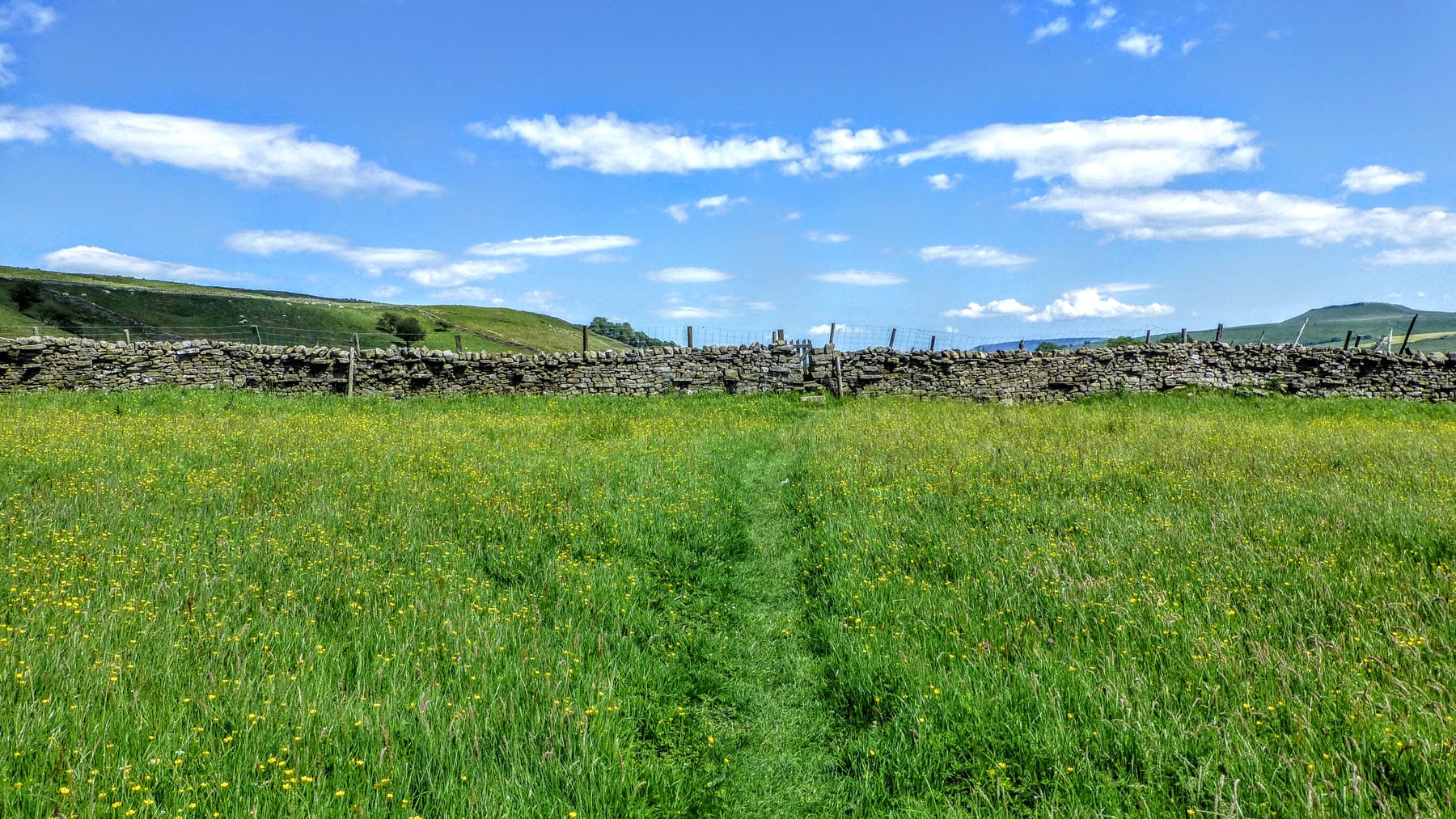
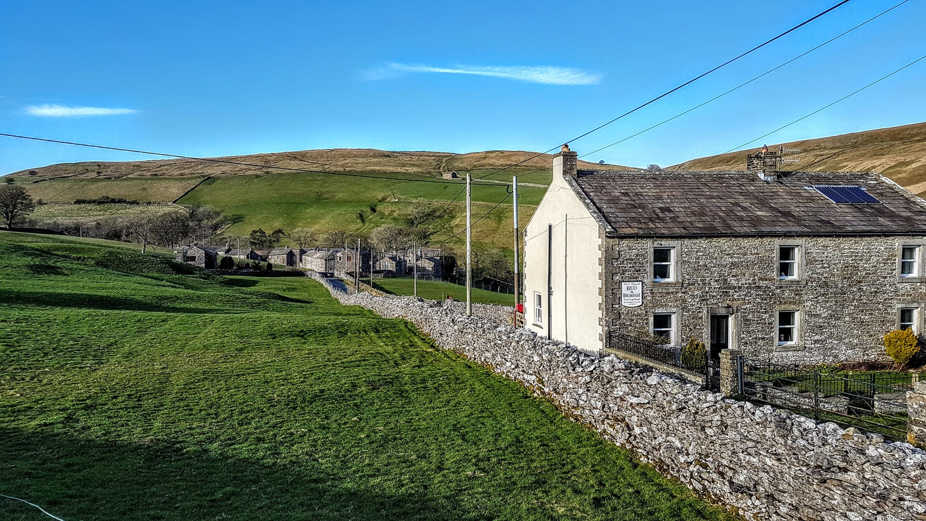
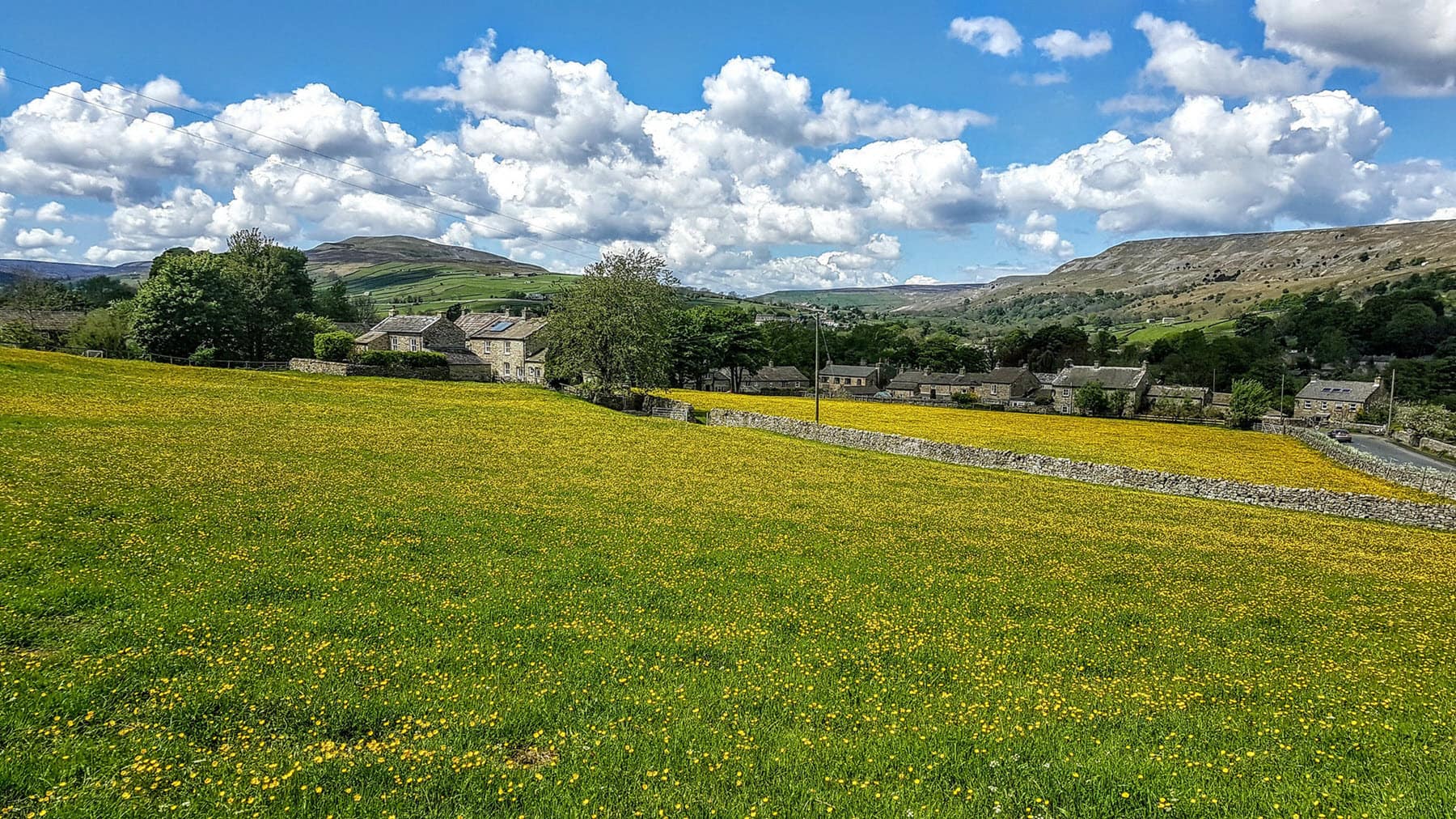
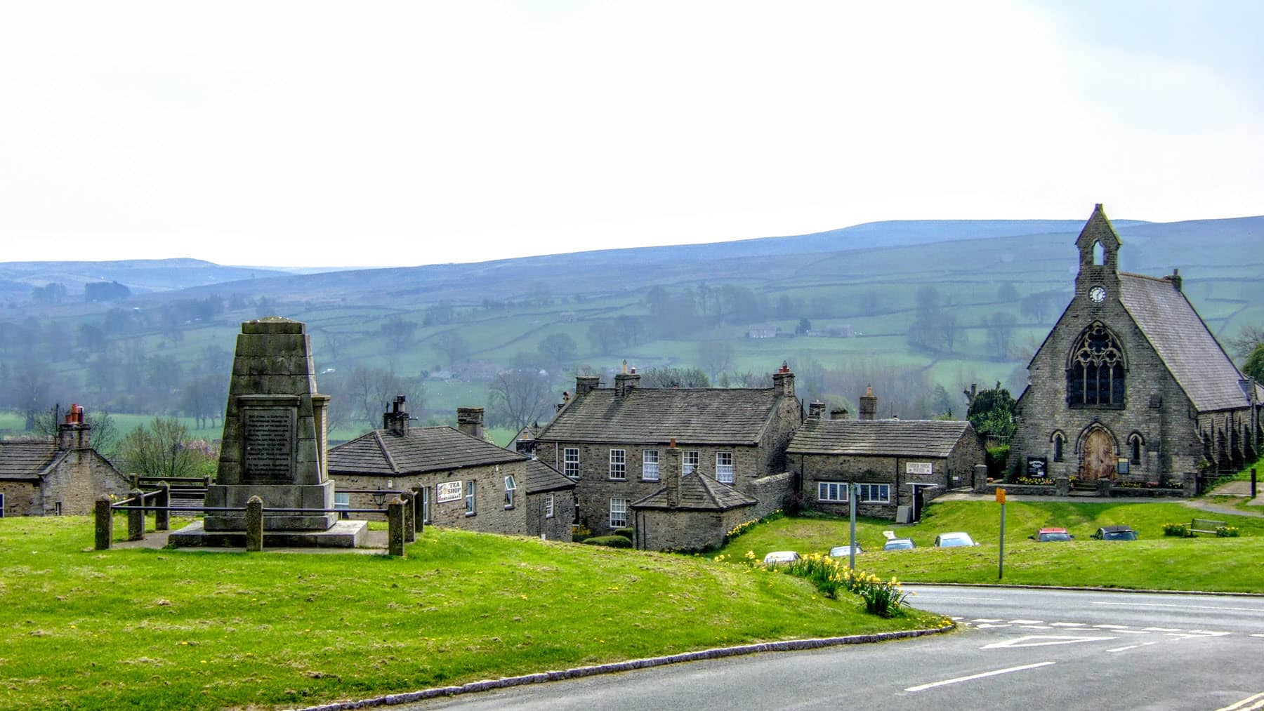
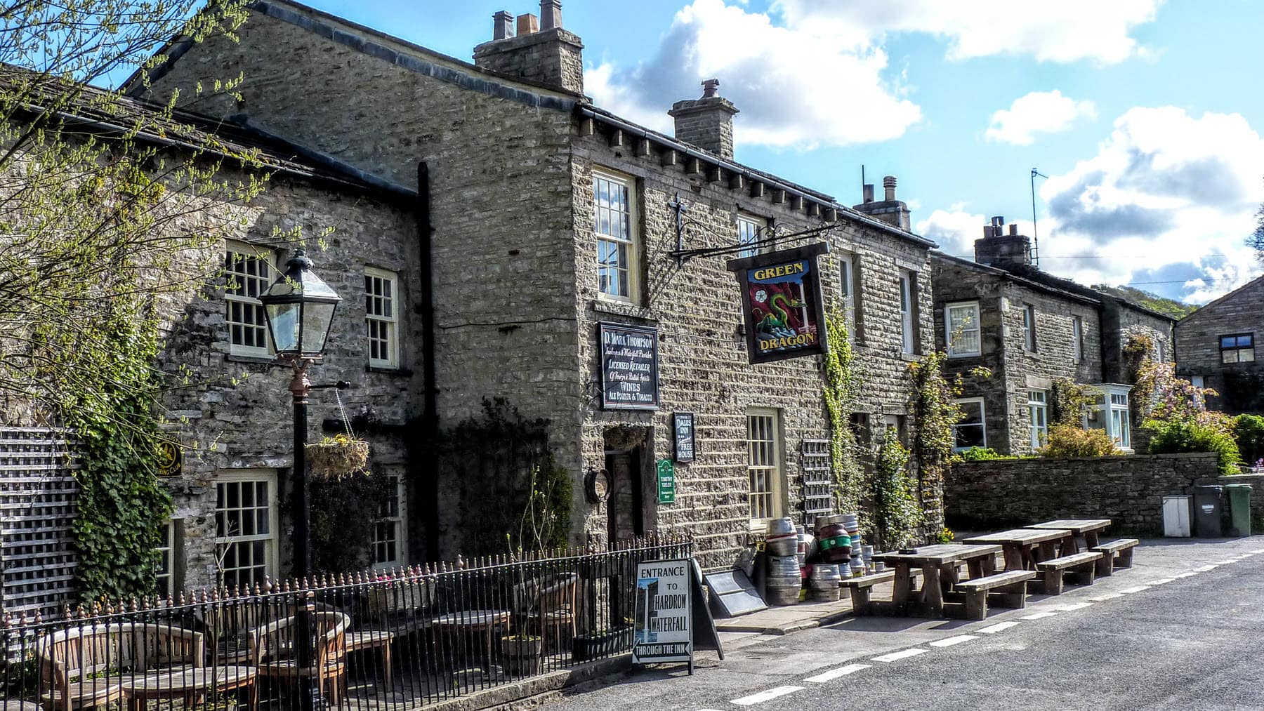
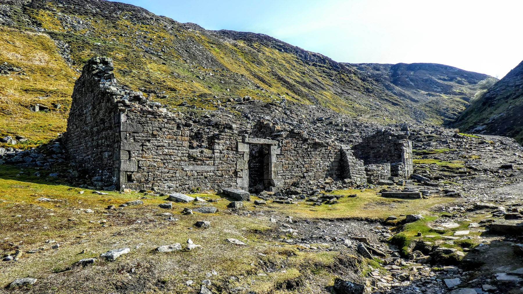
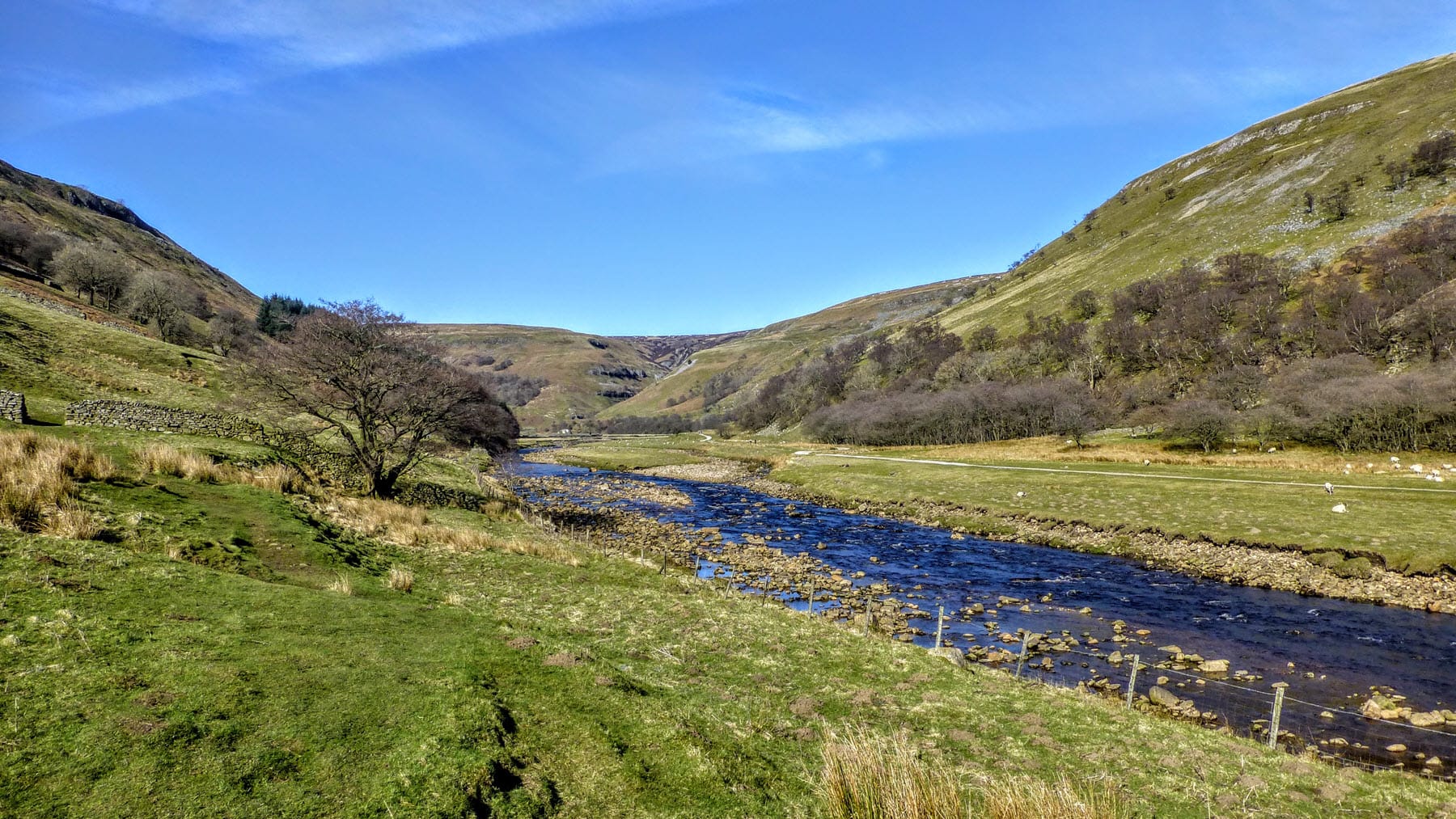
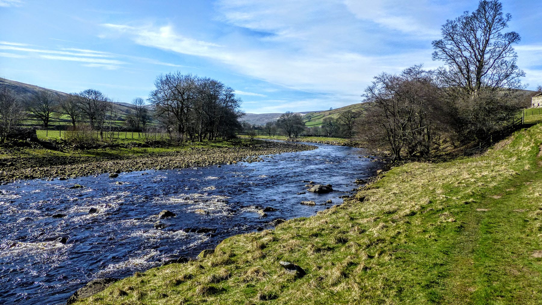
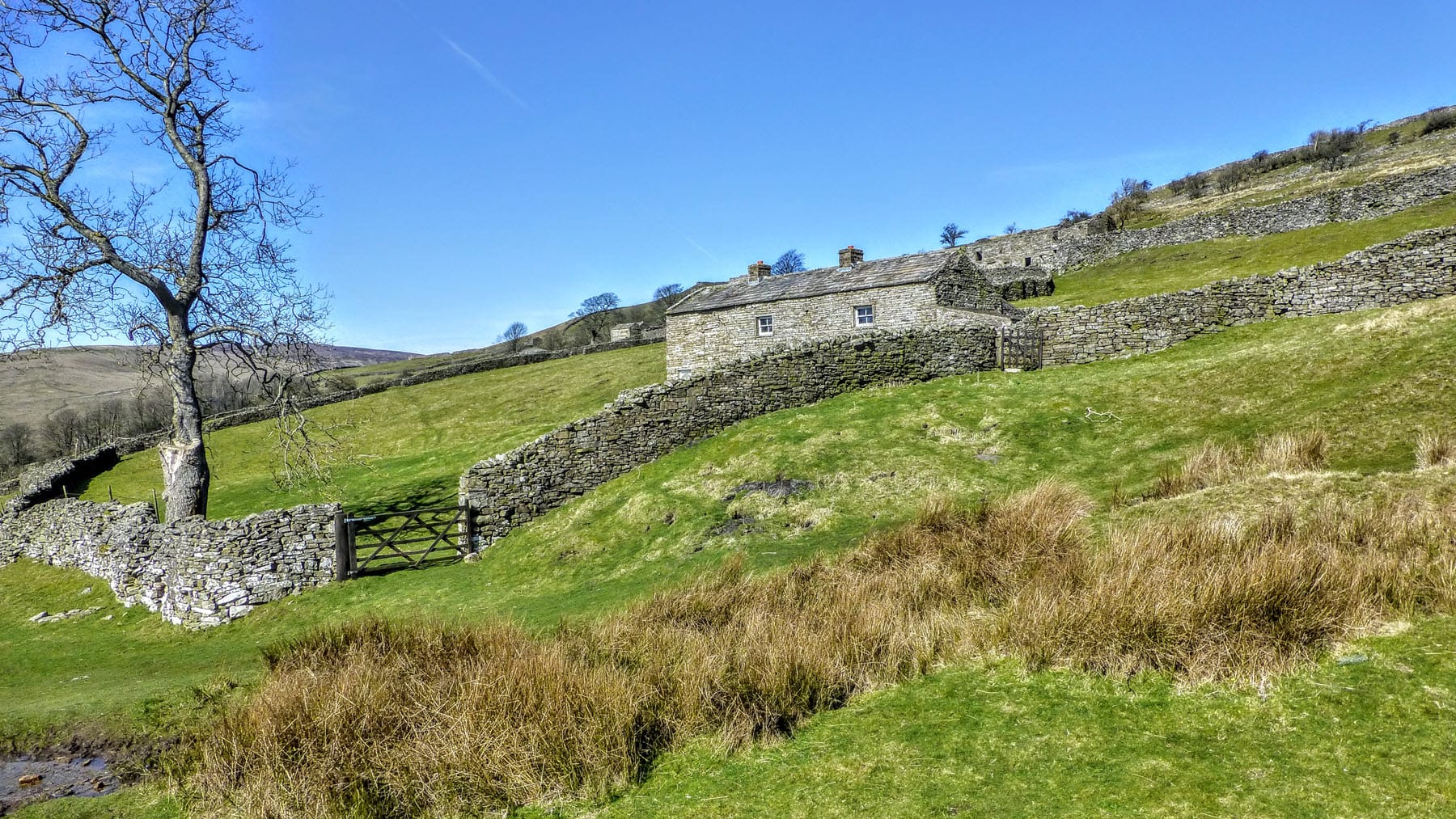
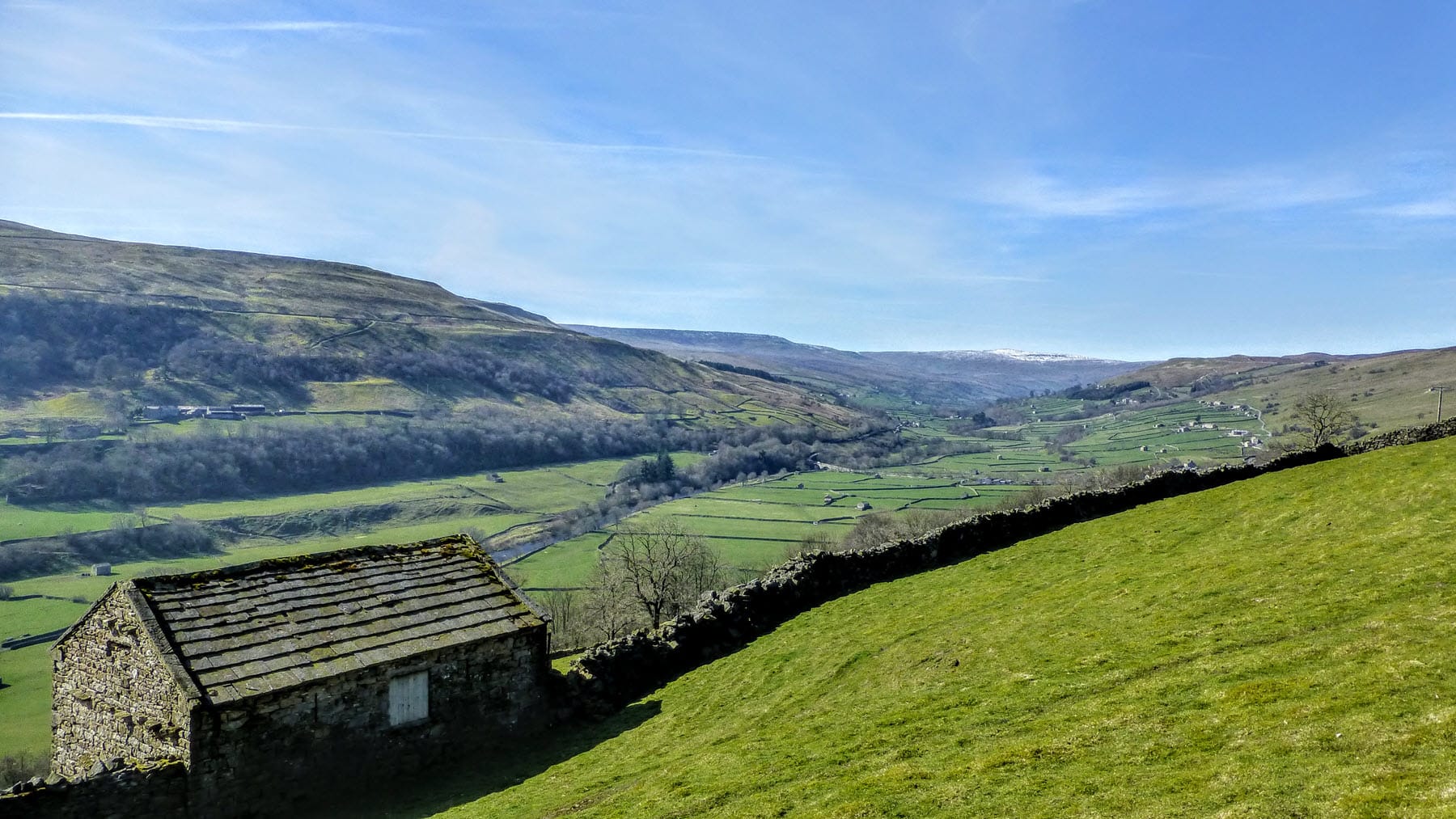
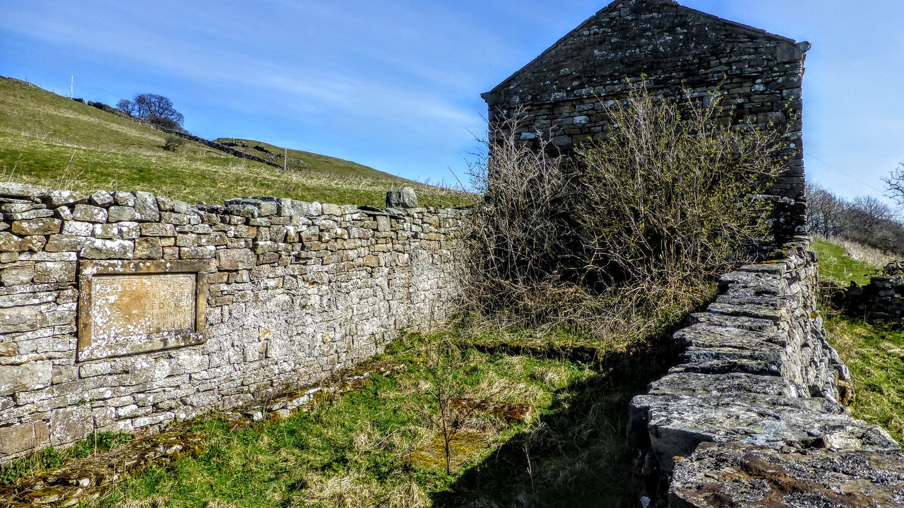
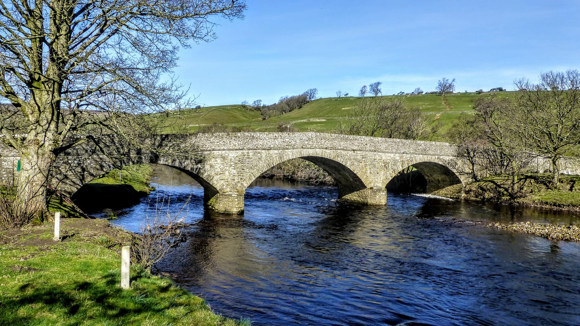
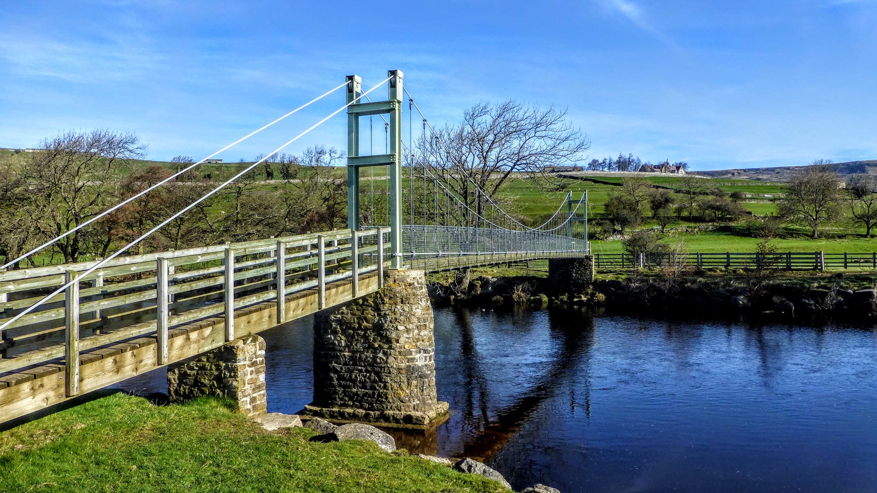
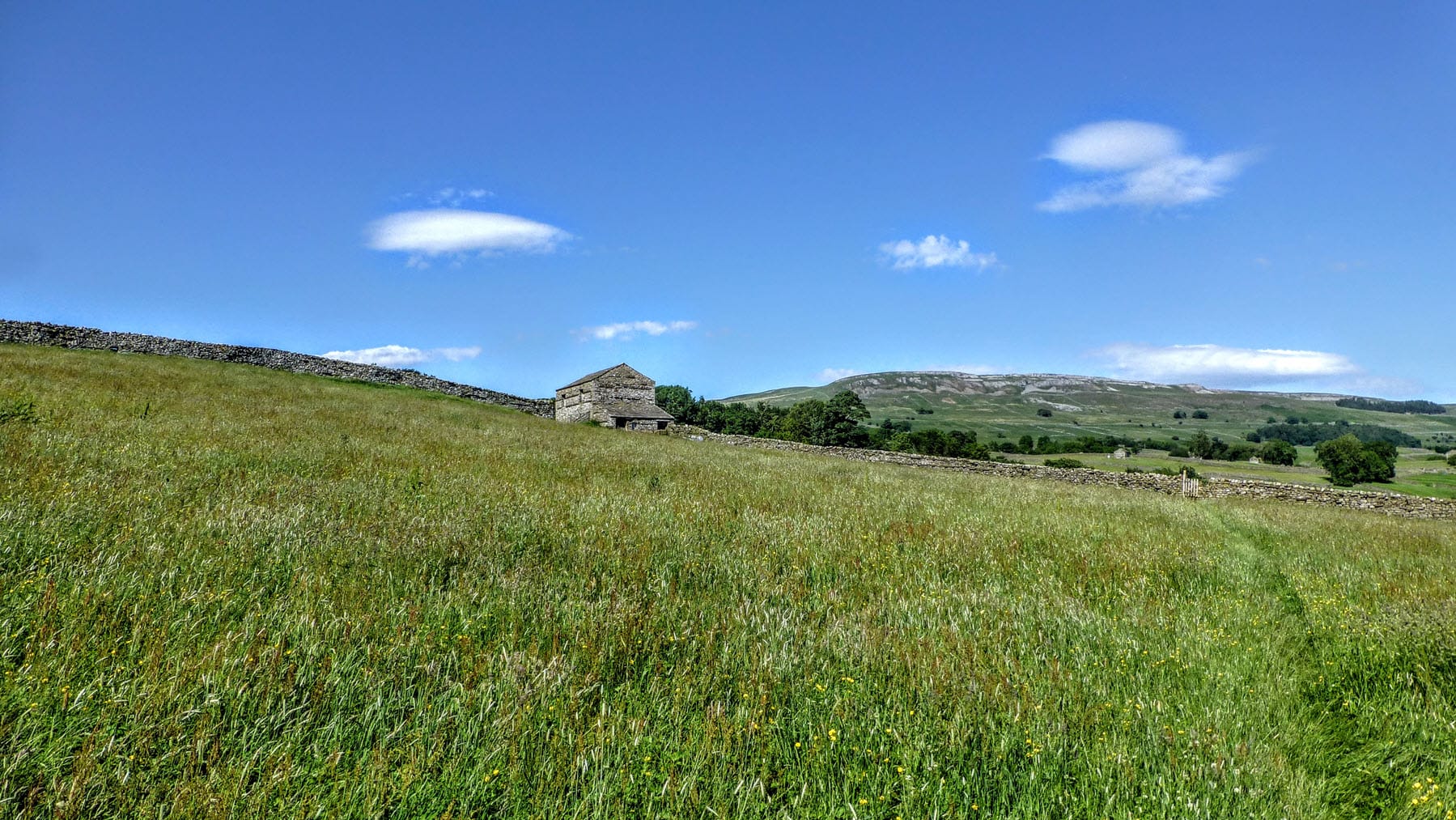
The Herriot Way walk is a 52-mile, circular walk that runs through some of the best scenery in the Yorkshire Dales and visits many of the places associated with the world-famous vet, known to all his fans as James Herriot. It is typically walked over four days, of approximately equal length. The guide book describes a clockwise walk starting and finishing in Aysgarth and with overnight stops in Hawes, Keld and Reeth.


15 Responses
Hi Stuart, just booked the B&Bs to do the Herriot way for the 4th time. Starting on the 10 of July next year. I`ll be doing the walk from Keld to Hawes on the first day ( get Great Shunner Fell over with ) I thought that I would extend the walk on to Leyburn then over to Richmond this time, I know it`s not the Herriot way as such but it covers most of it. I don`t know ….but it`s just the feeling of walking on my own that seems to appeal to me more than walking with someone else. But then again maybe…..I see on the reverse of your book it shows the end of the C2C walk .Me and the wife did that in 2014. Dales way 2013, Lady Anne way 2015, Cleveland way 2016, Dales high way 2017. And 3 Herriot ways in between. Anyway a long winter to get over. Thanks Jeff.
Just completed the Herriot Way yesterday with a couple of friends. Absolutely brilliant walk and stunning weather. The book was absolutely fabulous for most of the walk with so much detail. The only bit we got caught out on was the short cut on day four which was the least detailed, however combined with the os map for that part no problems were encountered. Thank you so much !!! Definetly would recommend anyone to buy this book prior to the walk!
We completed the Herriot Way over the Easter Bank holiday weekend. What an excellent walk! As seasoned long distance walkers we have been looking for some shorter, yet still challenging, long distance walks and we thoroughly enjoyed this one! The book was brilliant and described every section in detail that, despite walking through quite a lot of snow ( 2 out of the 4 days were in heavy blizzard conditions!) we had no problems navigating as the descriptions in the book were so clear and concise. Although we had the OS map, we used the book as our main source of navigation. Can highly recommend this book and the walk!
My wife and I have just completed The Herriot Way using the Kindle book download and taking four days on the walk
We started at Aysgarth. The directions and the attention to detail within was outstanding.
Only had to look at OL30 once!
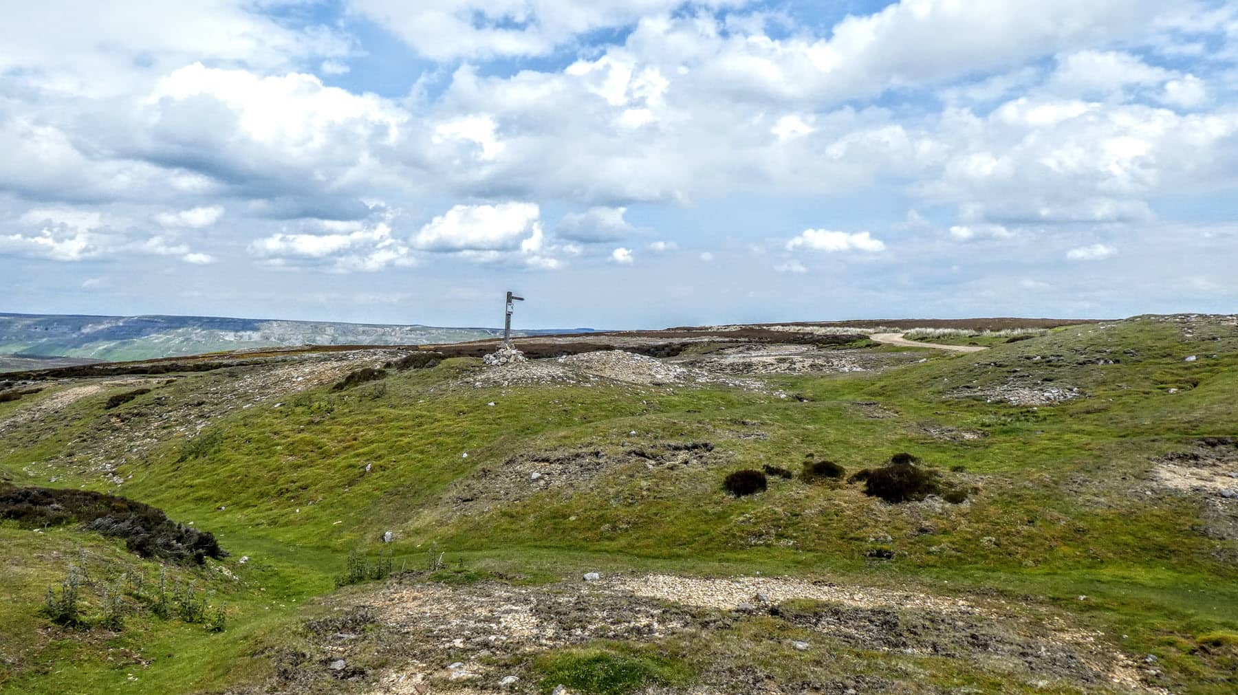
The only part we struggled with was actually locating grouse butts 7 and 8 after High Harker Hill. They are very well hidden.
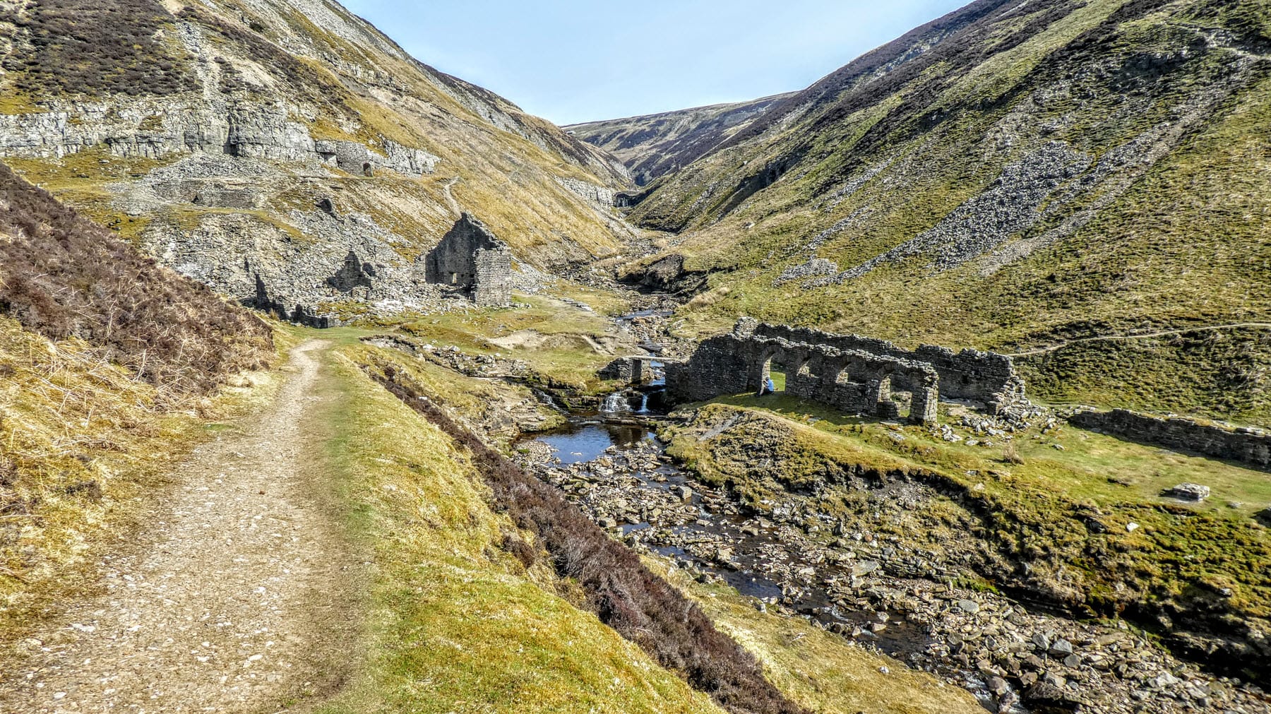
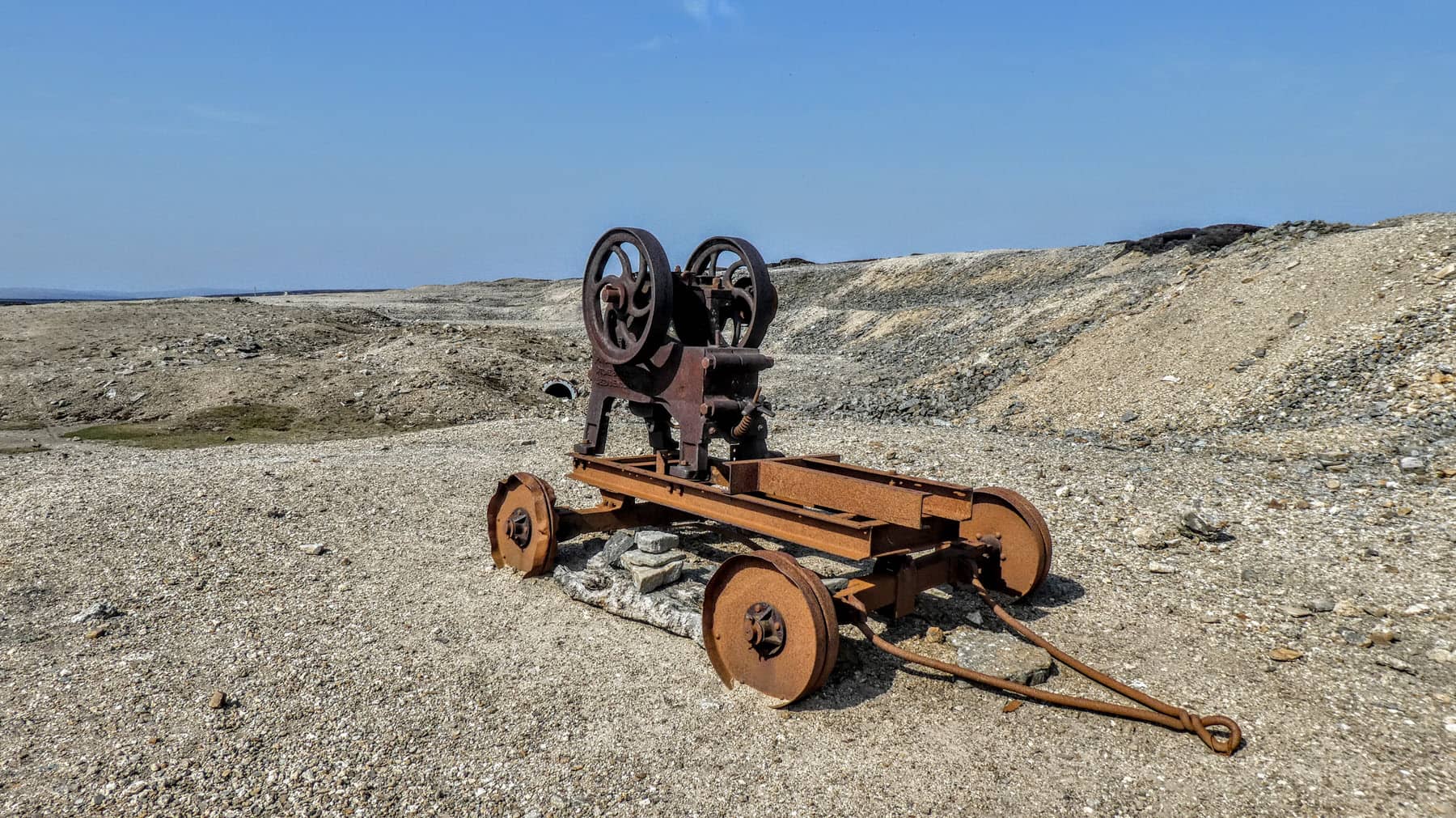
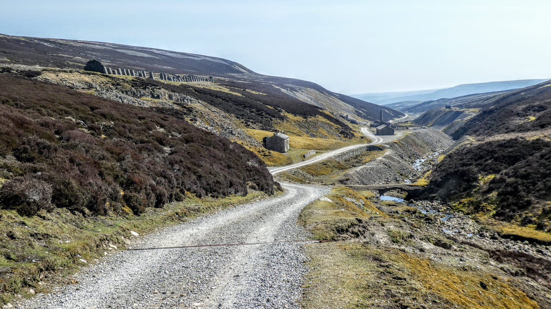
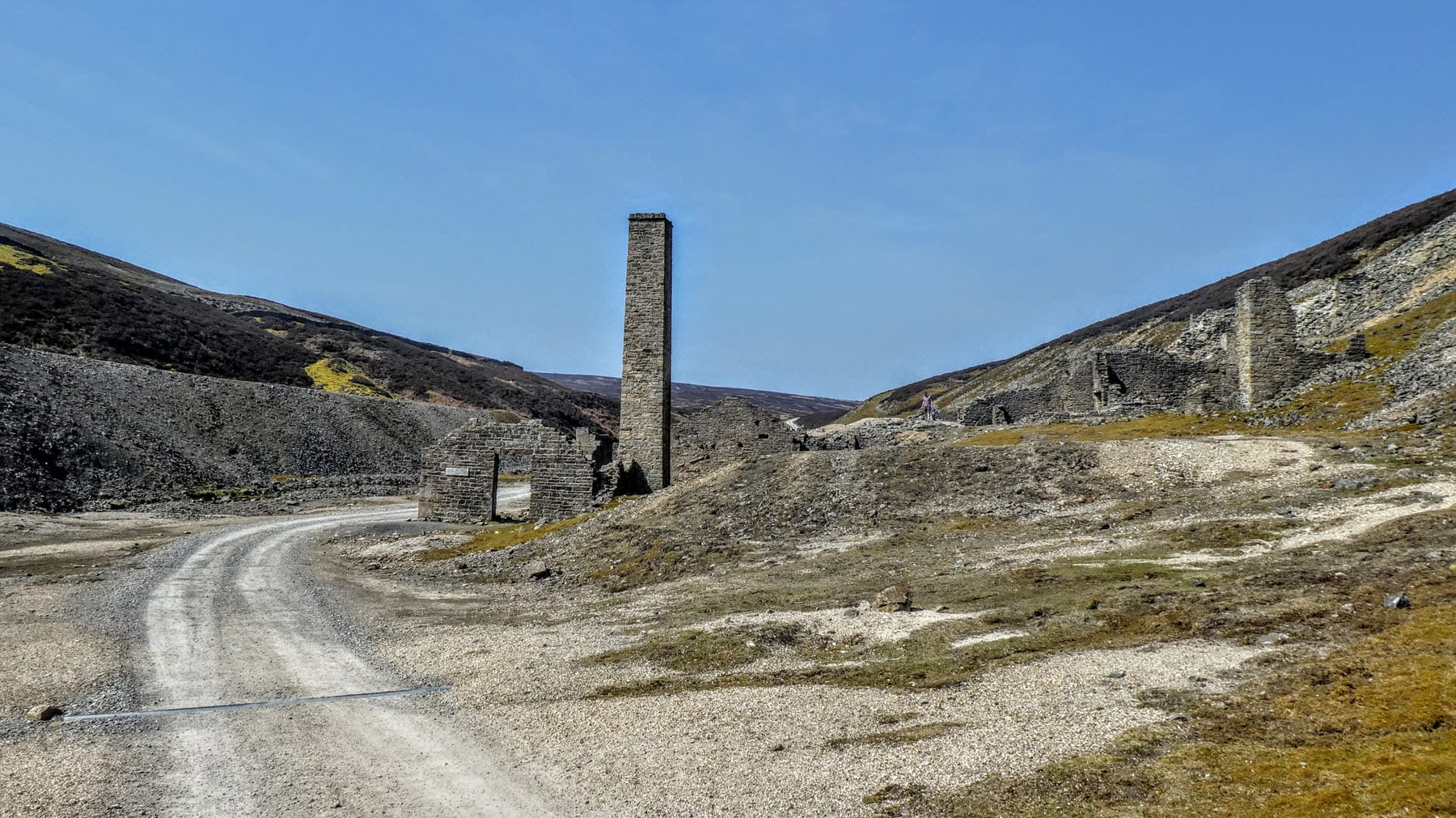
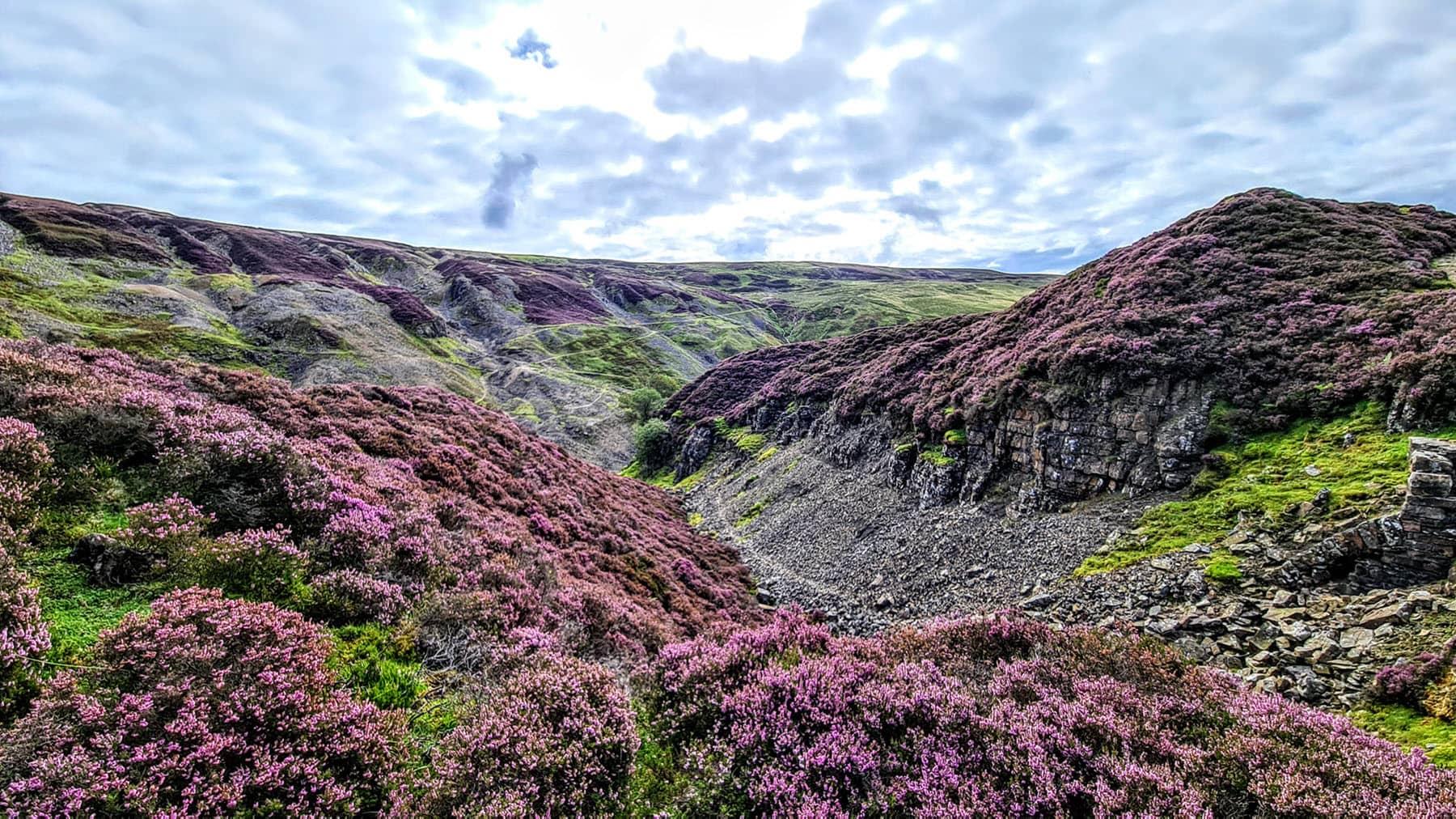
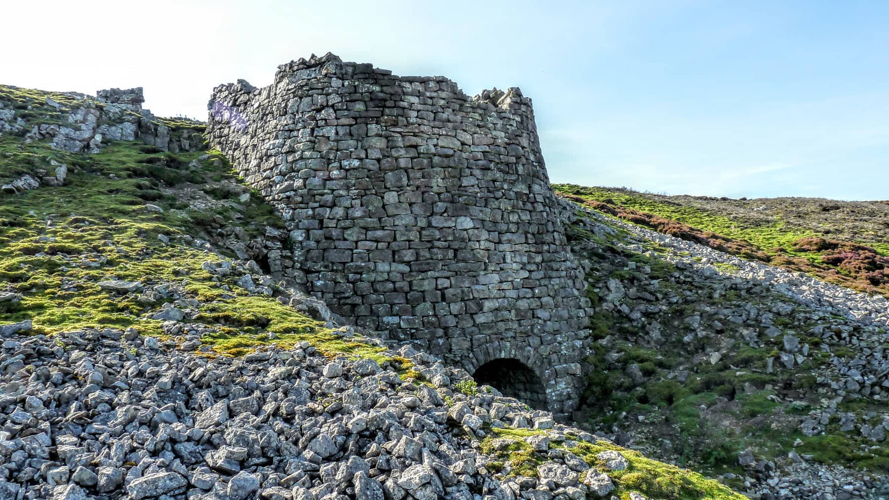
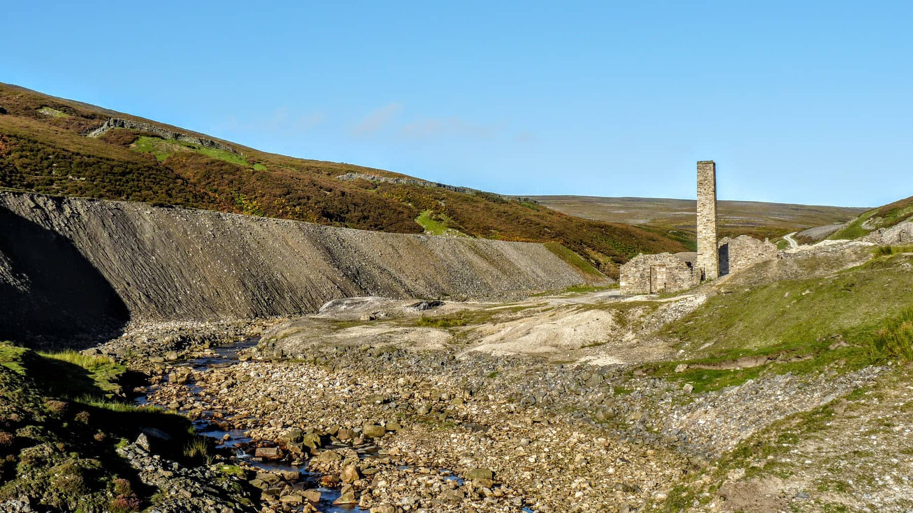
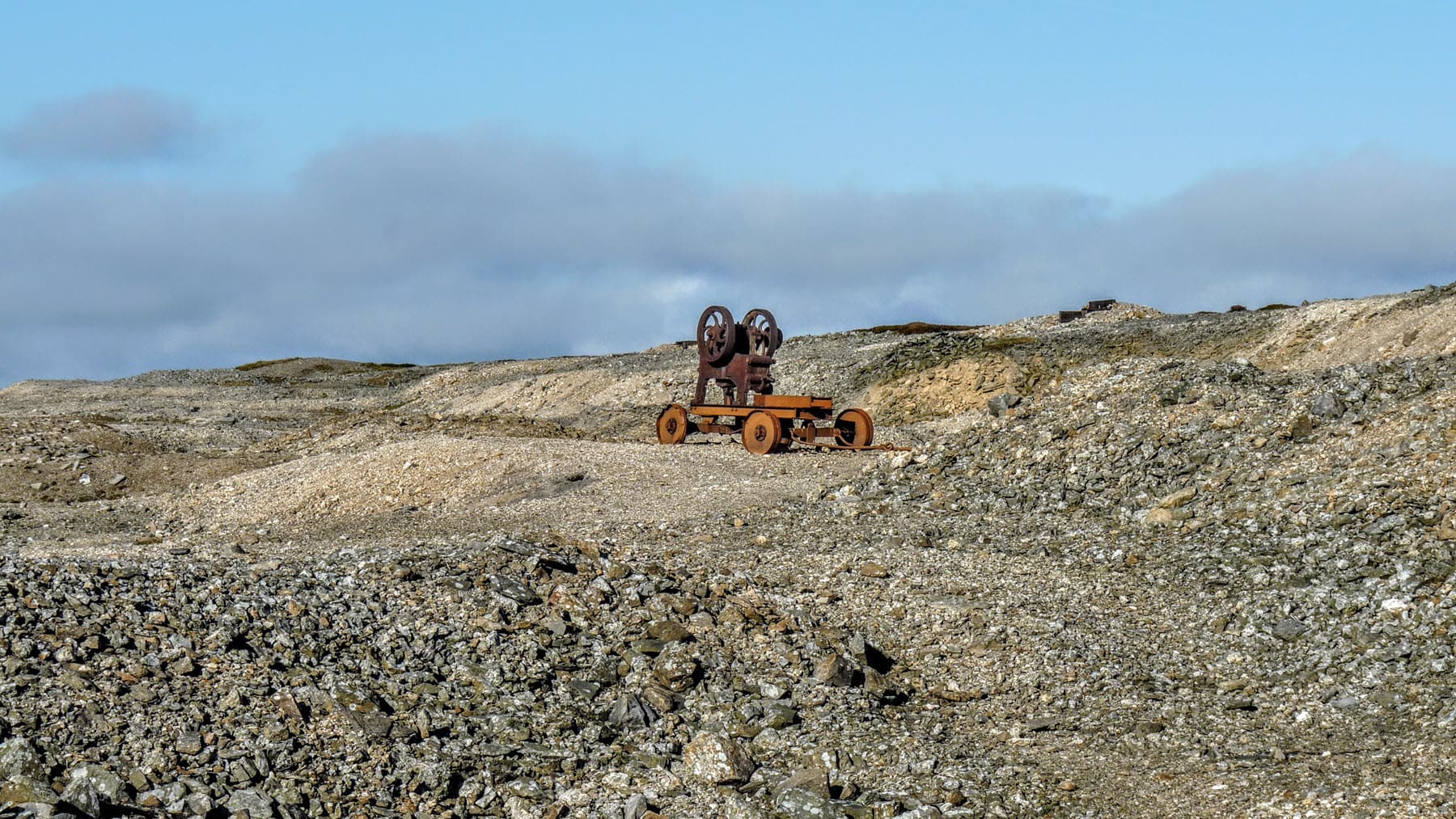
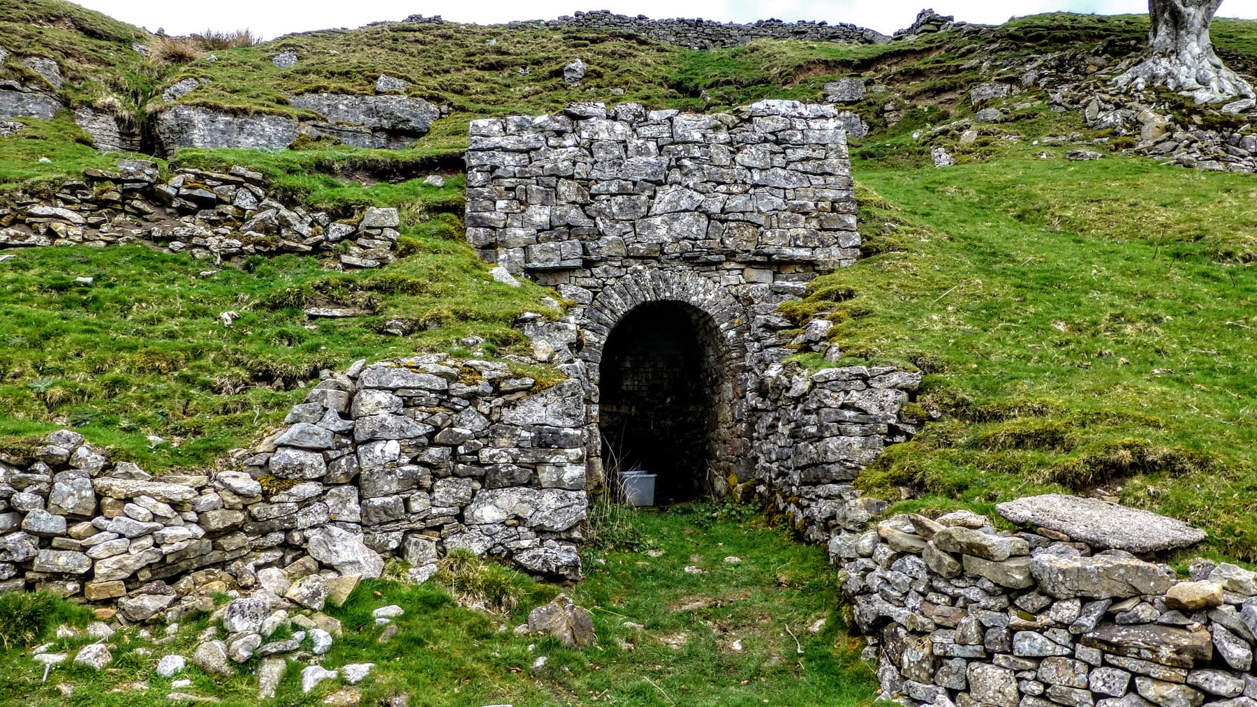
Day 3 is also hard work if you take the high route through the lead mines from Keld to Reeth.
We both thoroughly enjoyed the experience and are now planning our second LDW.
My wife wants to know if you’ll do directions for every other trail?!!
Thanks and well done on the guide.
Kevin & Margaret Duncombe
Just wanted to say the book was great. Myself and Julie found we needed only to follow the book and not the OS map.
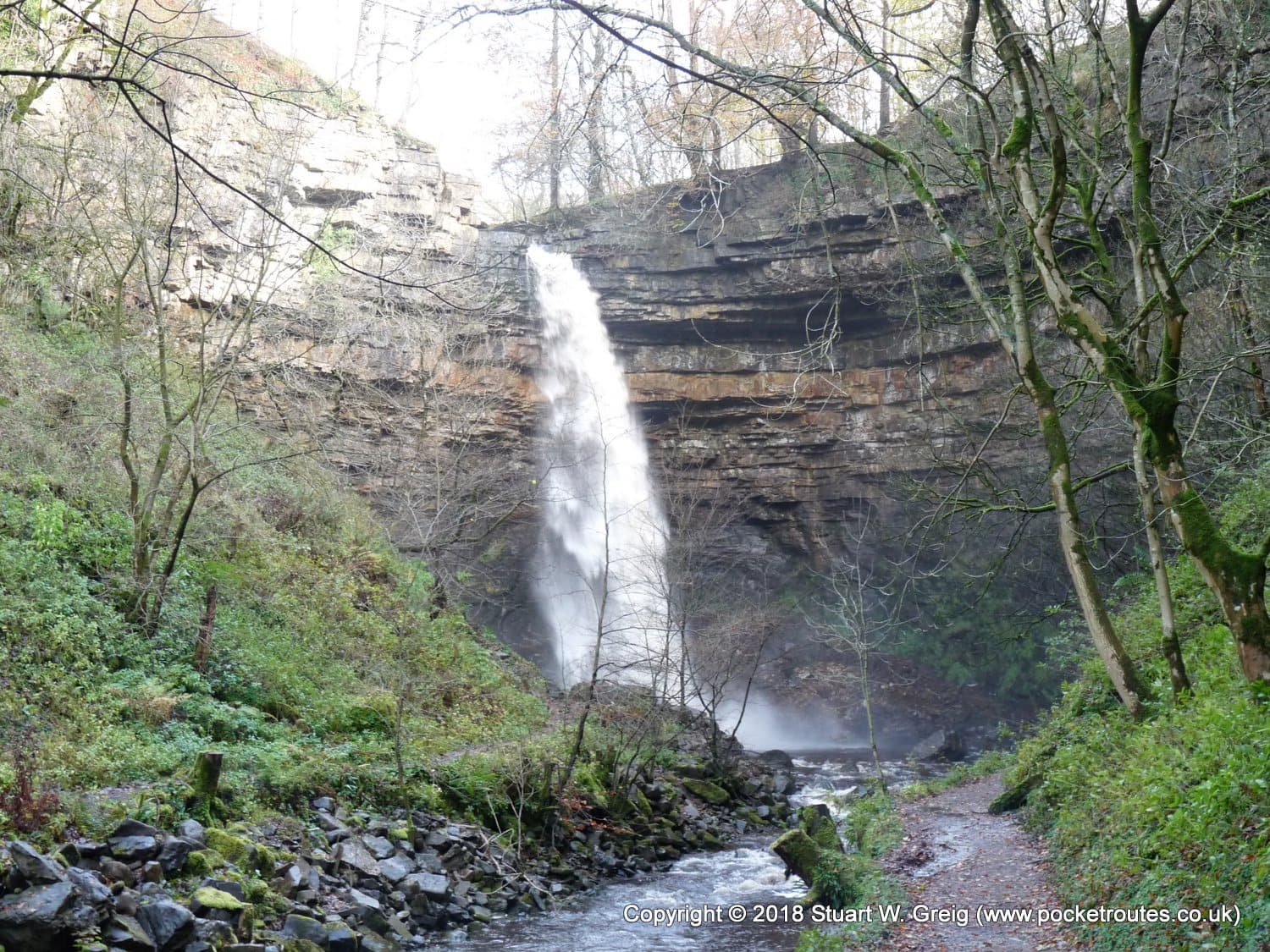
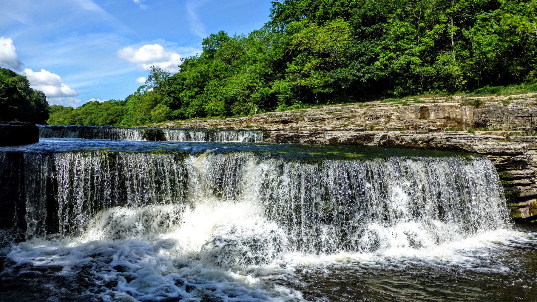
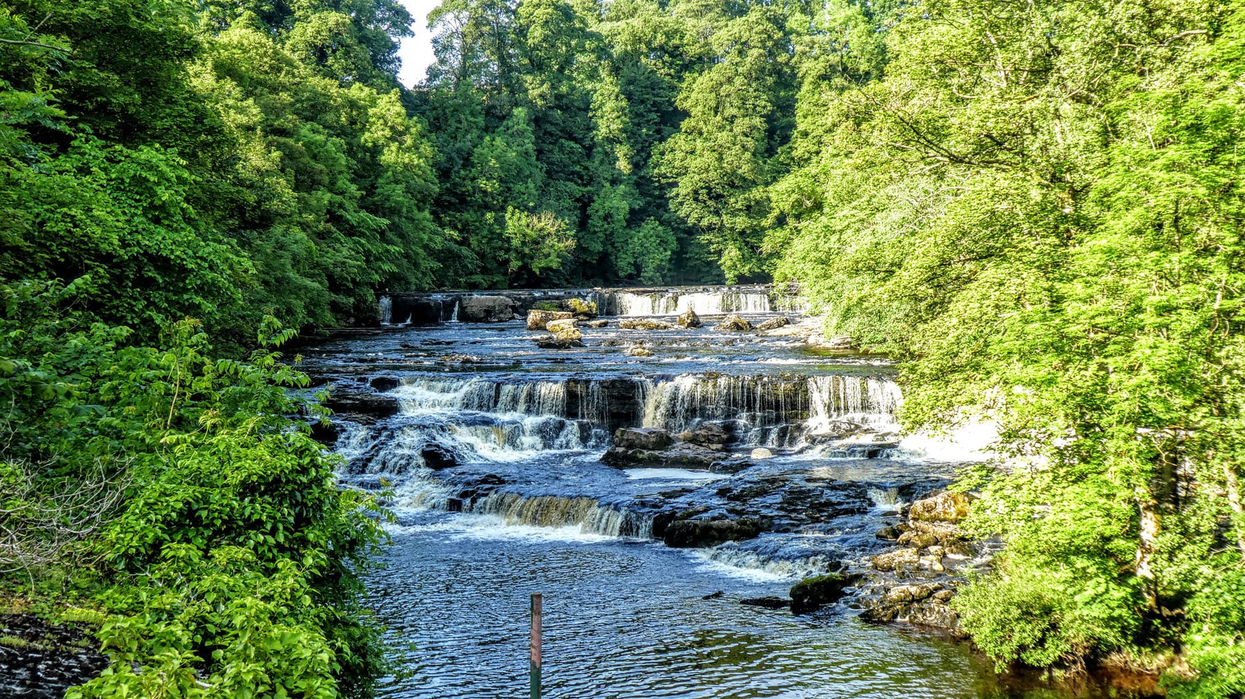
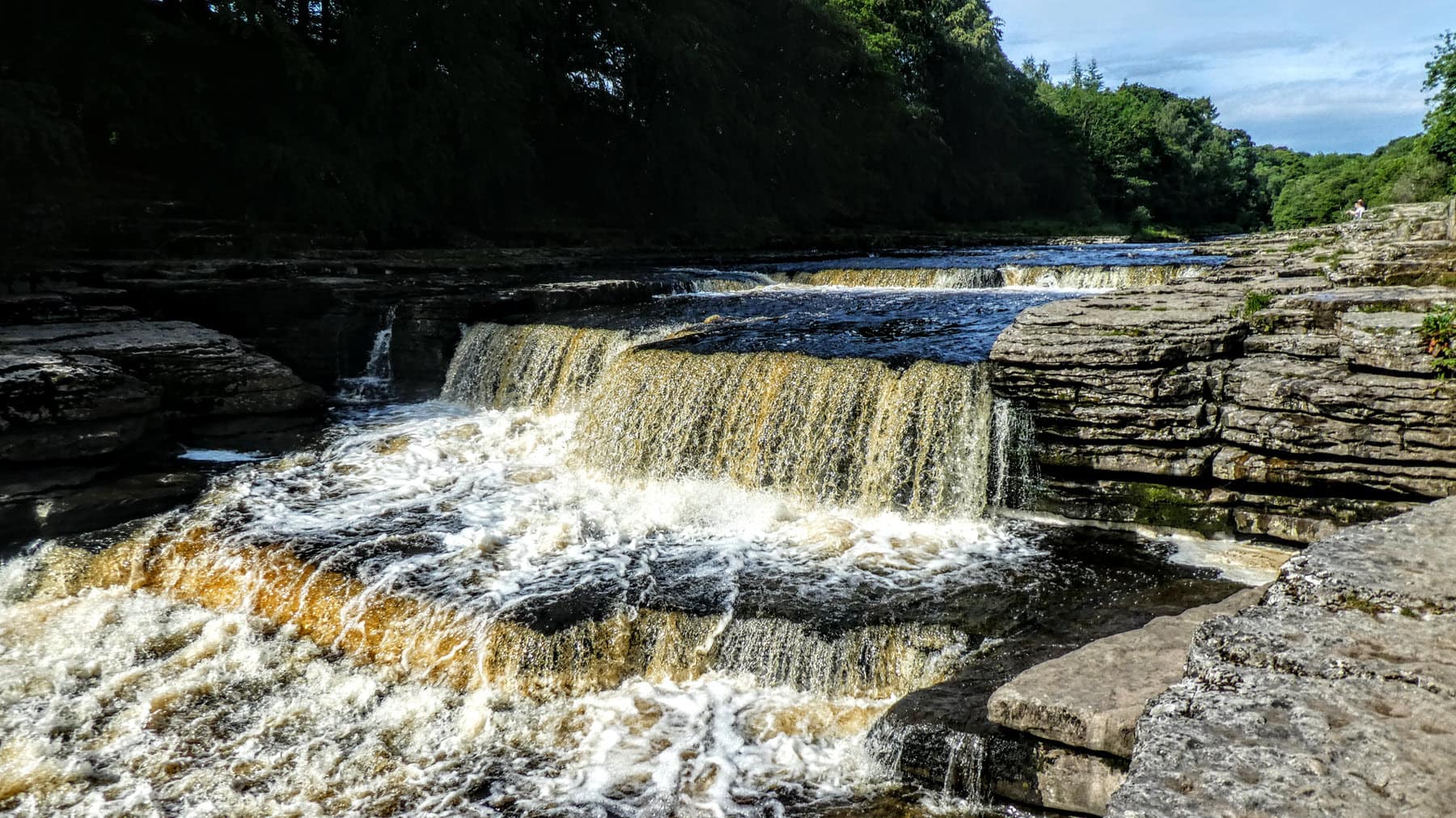
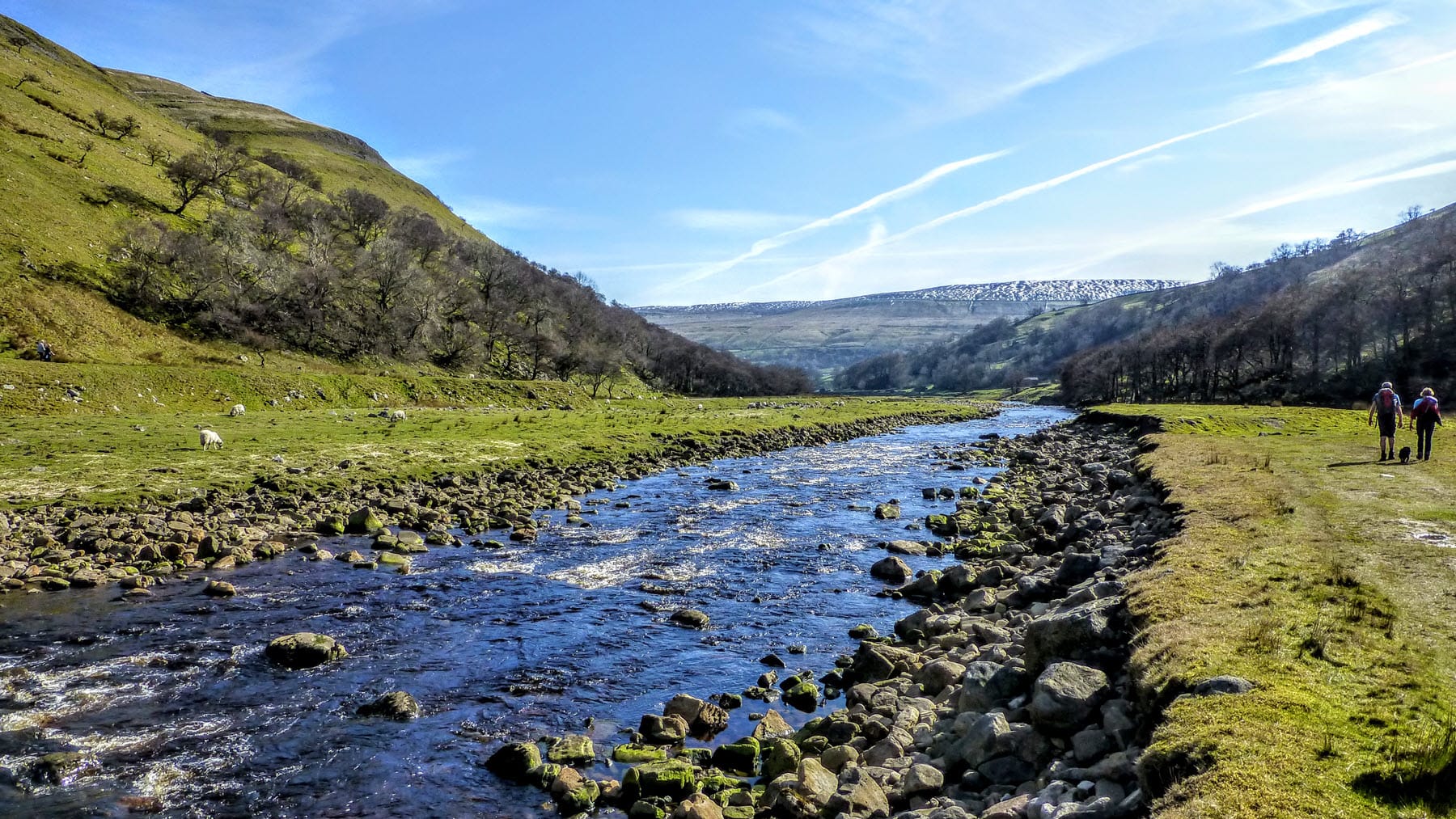
This walk is an ideal pre-season warm up for a regular long distance walker or in my case an ideal one if your other half isn’t as keen a walker as you are. My wife and I completed it last week and the scenery is truly stunning and the waterfalls, due to recent rain, were in full spate and spectacular. There are ideal lunch stops on all 4 days and plenty of other pubs/tea rooms along the way to keep the missus happy. Stayed at Cornlee guest house at the start, youth hostels at Hawes and Grinton and even a Yurt at Keld which was great. Took a OS map with me but didn’t really need it as guide book is so easy to follow and fits nicely into a jacket pocket. On day 3 we did take the low level route as described in the C2C guidebook as weather was a bit iffy and wanted to visit Muker and Gunnerside where tea and cake is plentiful.
My wife and I have done the Herriot Way twice now, and enjoyed both equally. Your superb guide was invaluable , never went wrong and the information made the walks really interesting. Thanks for the hard work you have put into the guidebook, I can not compliment it highly enough. I would not hesitate to recommend it to anyone.
I did the Herriot Way as my first solo walking trip and could not have done it without this excellent, invaluable book. Not one wrong turn, which for me is a miracle! Contemplating doing the longer Dales Way next. Stuart, have you a similar guide/route for the Dales Way?
It was the end of July 2014. The weather was great: sunshine, dramatic clouds, a few drops of rain one afternoon. The walk was unsurpassable. I promise you I could not have done it without the book. You read ahead 3 or four next stages, then stuff the book in your pocket and forge ahead with confidence, fully trusting the guide, enjoying the scenery, taking pictures of a bird or rock or sheep or barn or grand vista… Until you need to get your bearings again. A rare experience.
This book gave me the confidence to do my first multi day walk, it was so detailed i did’nt use
my maps at all. Just bought the second book By Stuart The Tributaries Walk, hoping to do it in October.
This book is fantastic and is a’ must have’ for this walk. The book was so easy to follow, keeping us on the right path. While I have no doubt we would have got between the four main points, your book took us along some paths that I don’t think we would have found. At times it felt you were the 5th member of our team!
For anyone thinking of doing the Herriot way – take this book!
Many thanks, Chris
Stuart, your book is just fabulous!
I found it so detailed and with the maps I always felt confident and safe on the Herriot way, especially around those grouse butts where it can be really hard to see any path. I look forward to using it again another time.
Well done.
I have to pay you a big compliment for your nice book. There’s a lot of work standing behind it and it shows from every page how much you care about the Herriot Way.
Your book is so incredibly detailed, down to the last blade of grass and yet with the maps, you get a complete overview of the walk and only need to look at the text intermittently.
I wanted to say how good we found the book – it really is excellent. The accompanying maps are great and ensured we found our way through the grouse butts on Greets Hill! I cannot speak highly enough of your book. The narrative was excellent with many hidden gems of ‘inside information’. The attention to detail made it an invaluable guide
Thank you!