Pocket Routes

The Eden Way

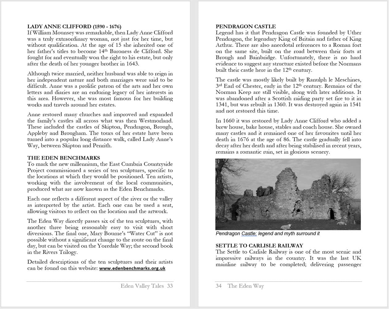
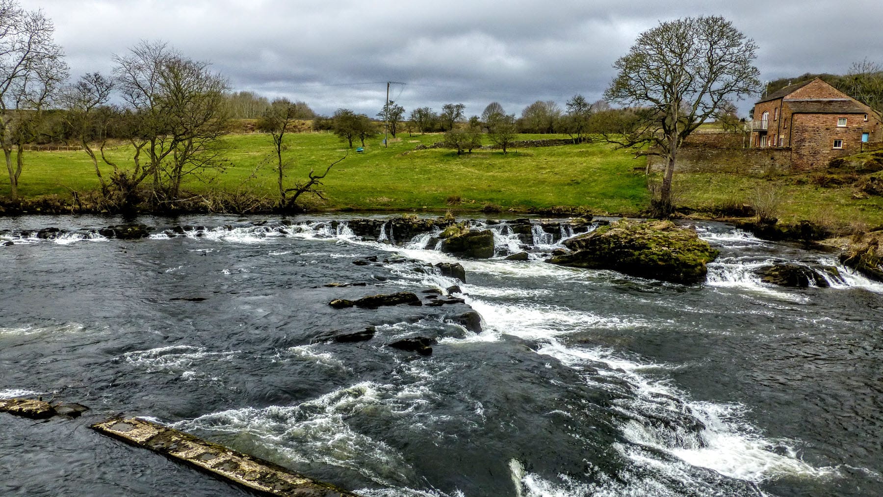
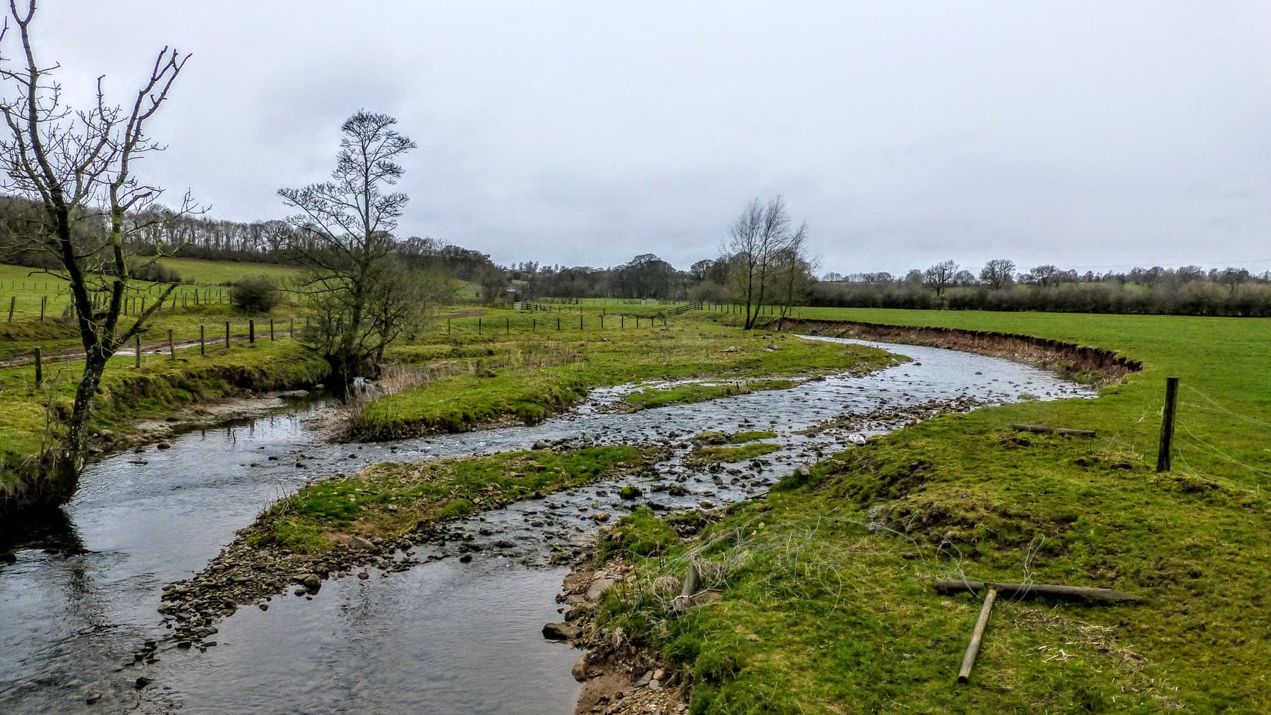
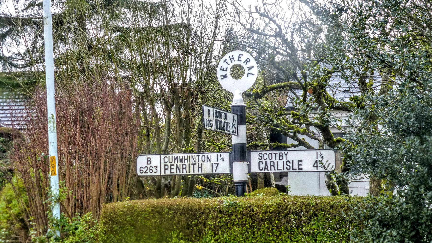
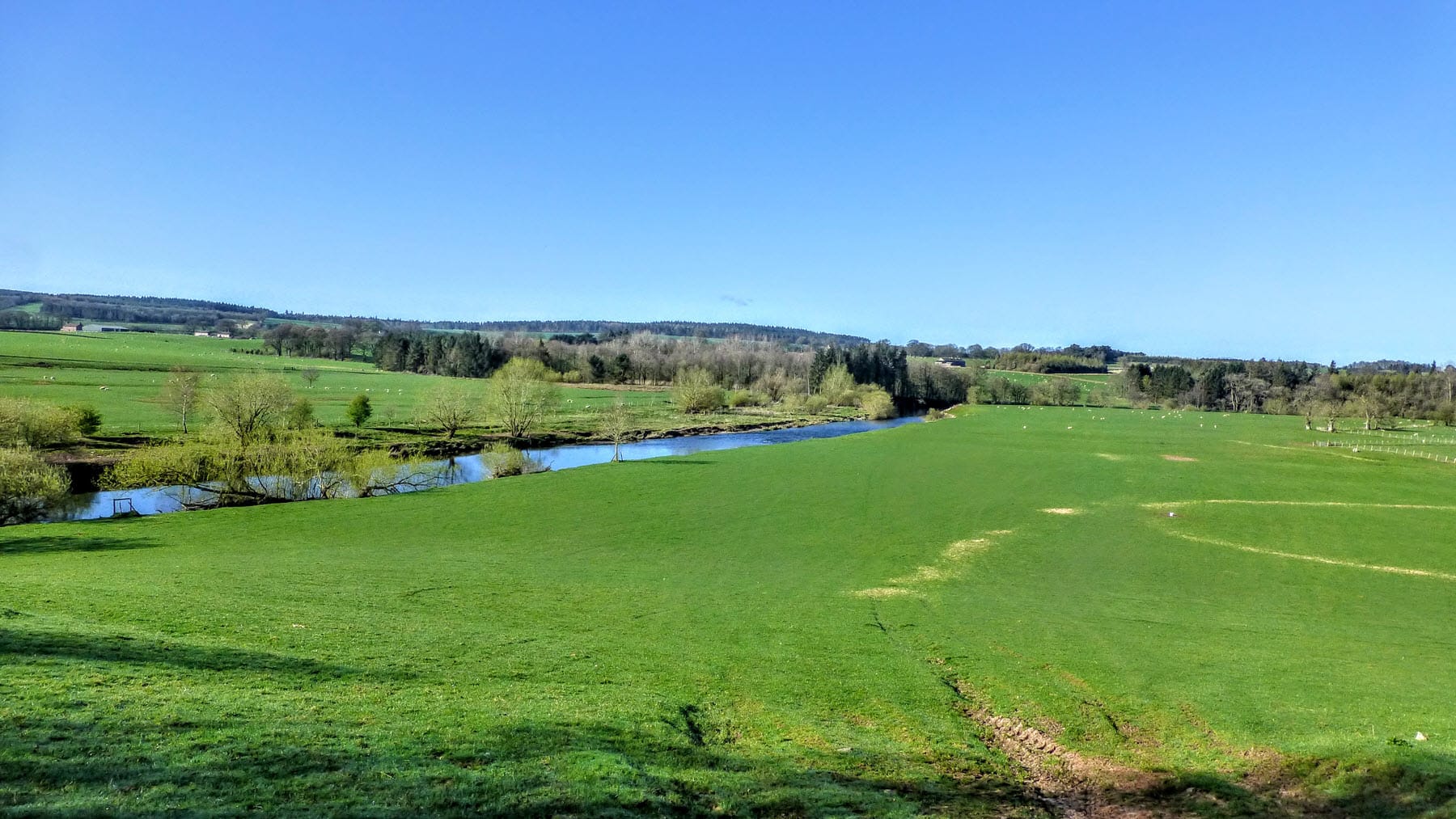
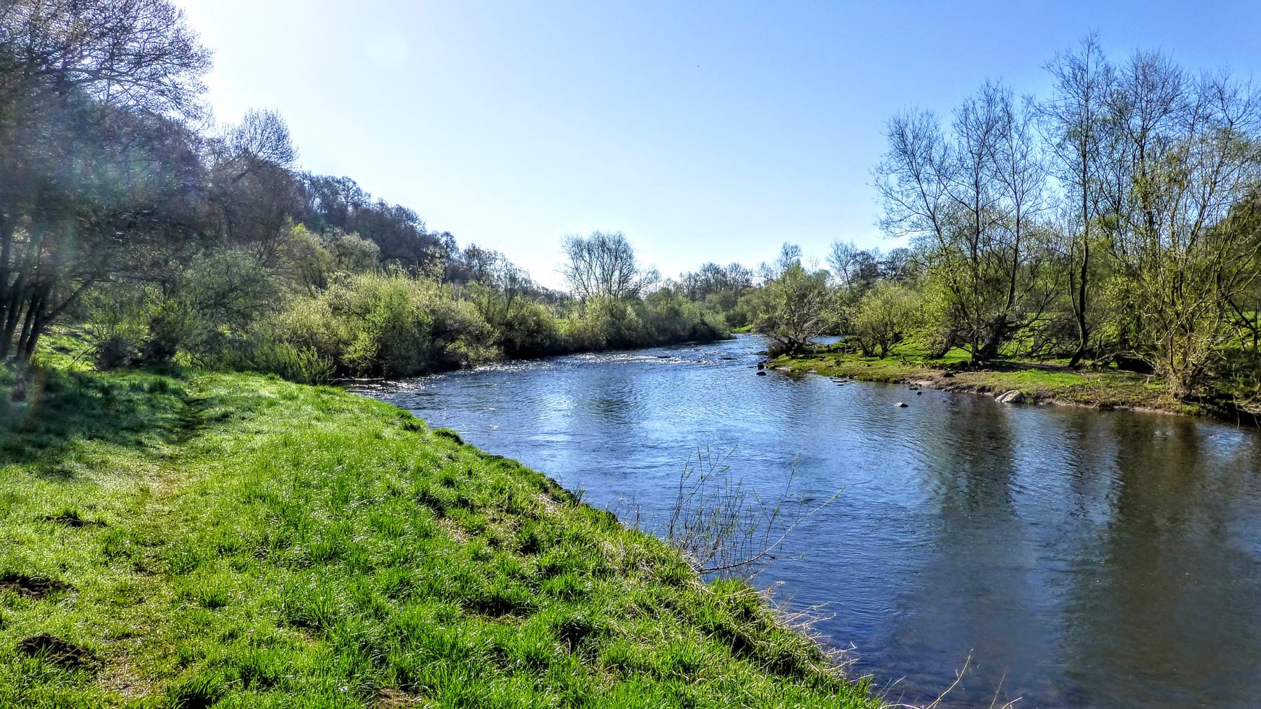
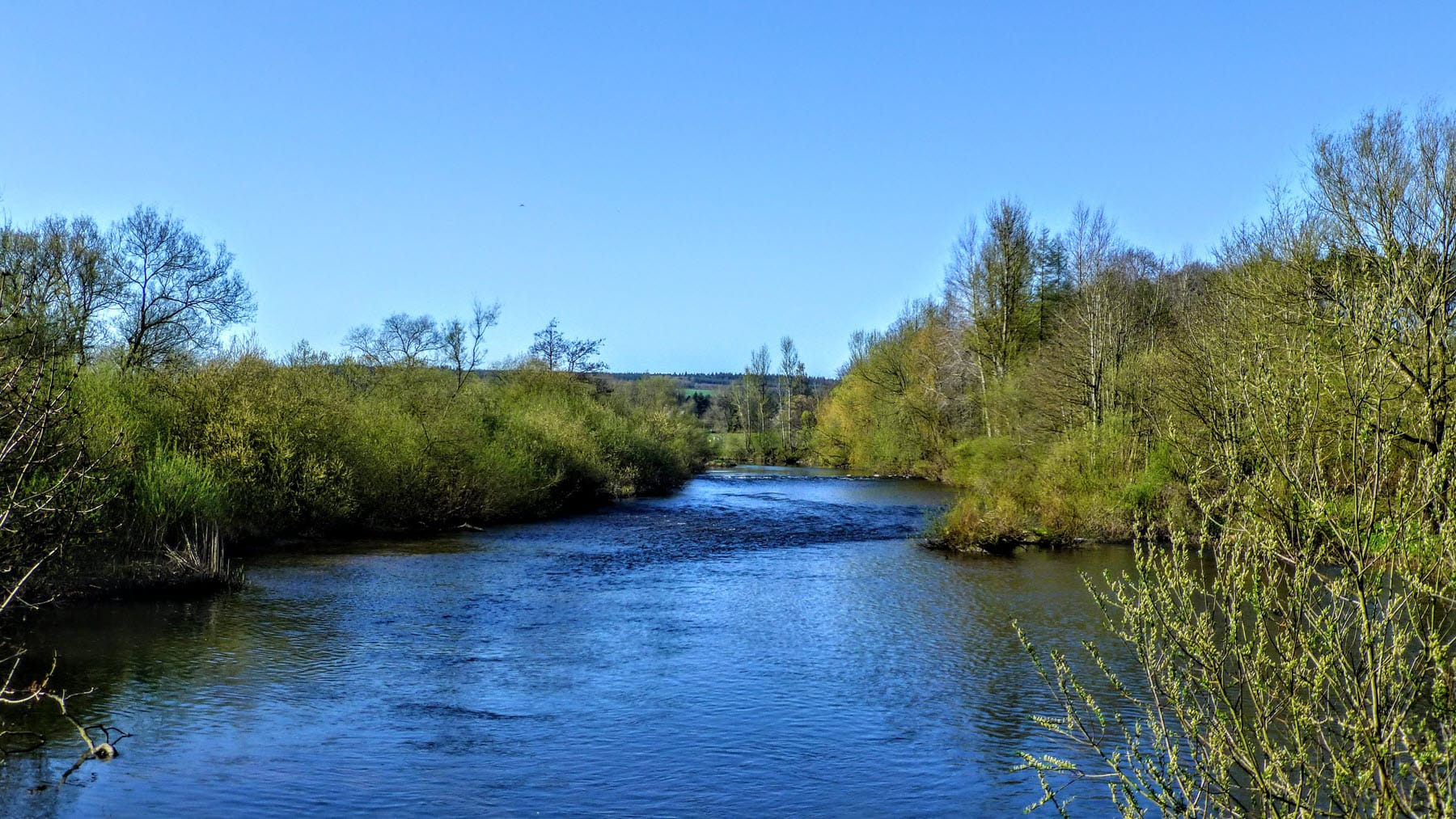
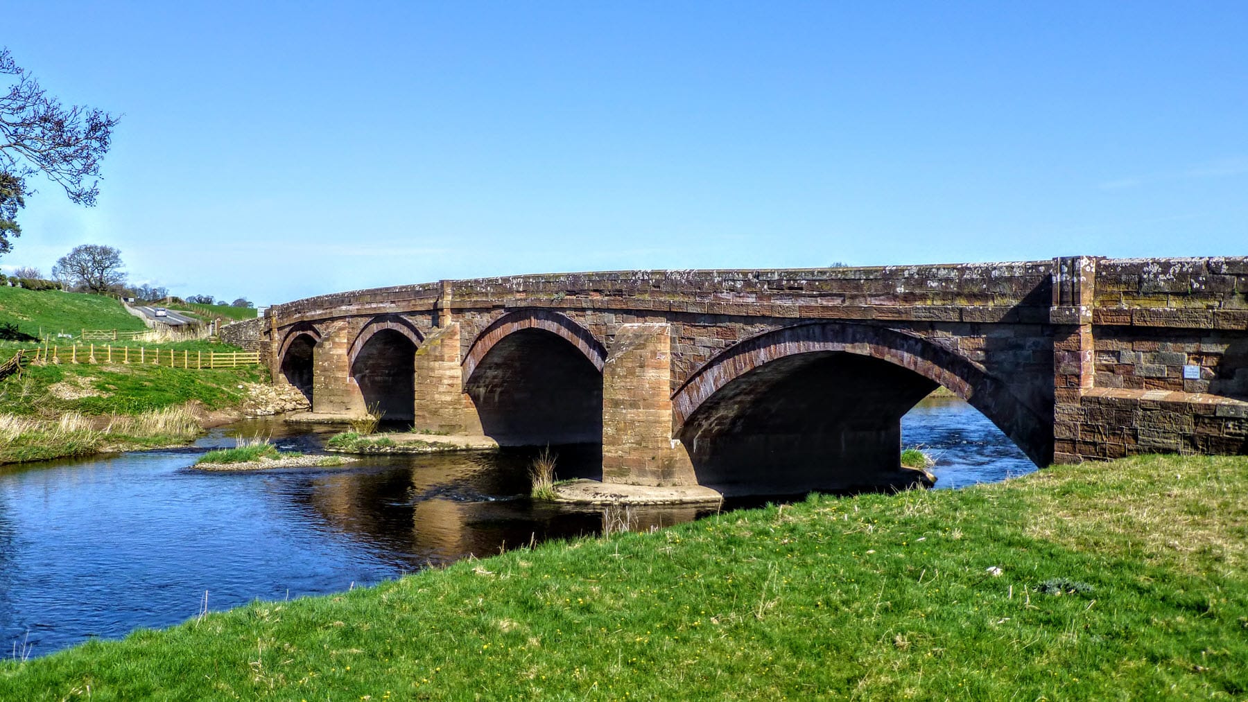
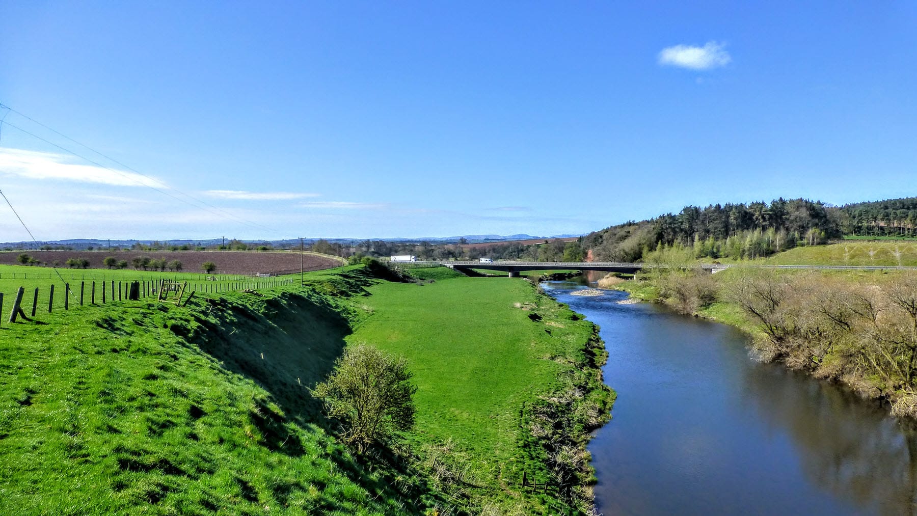
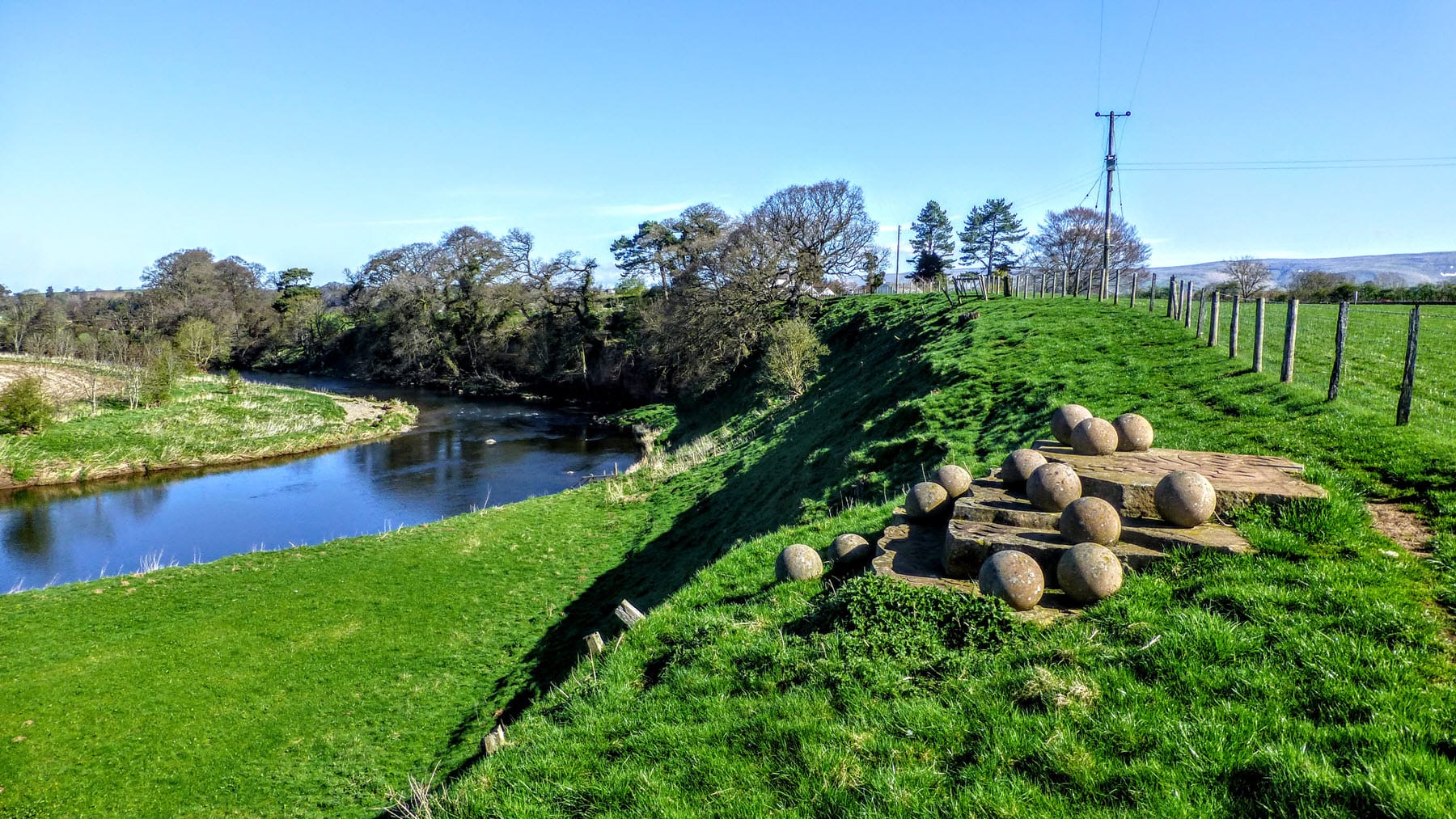
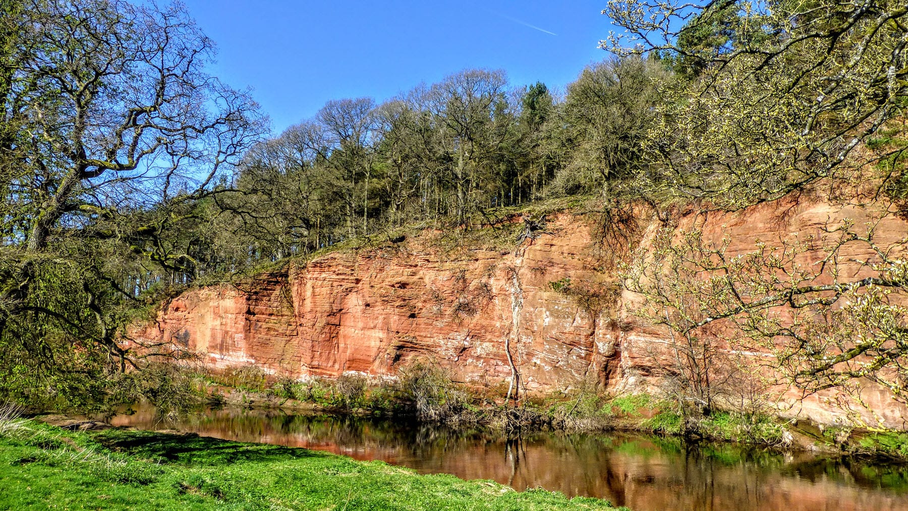
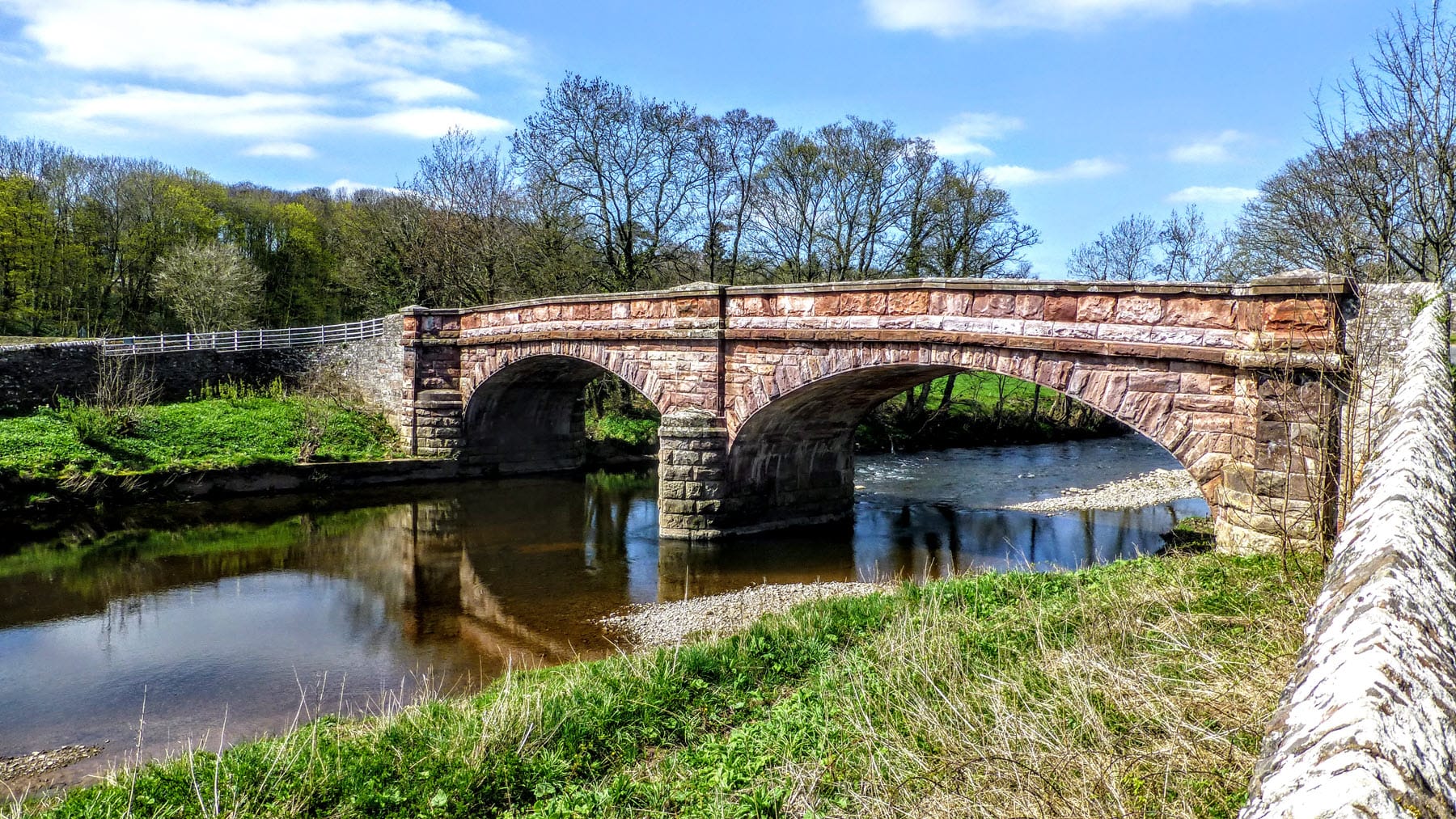
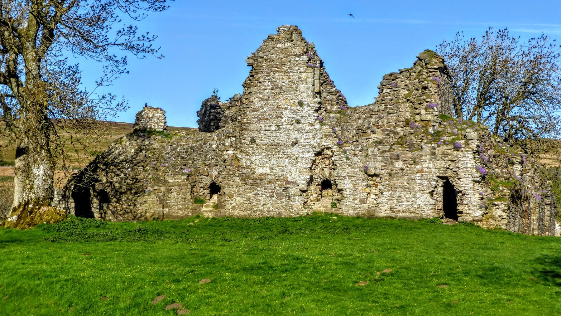
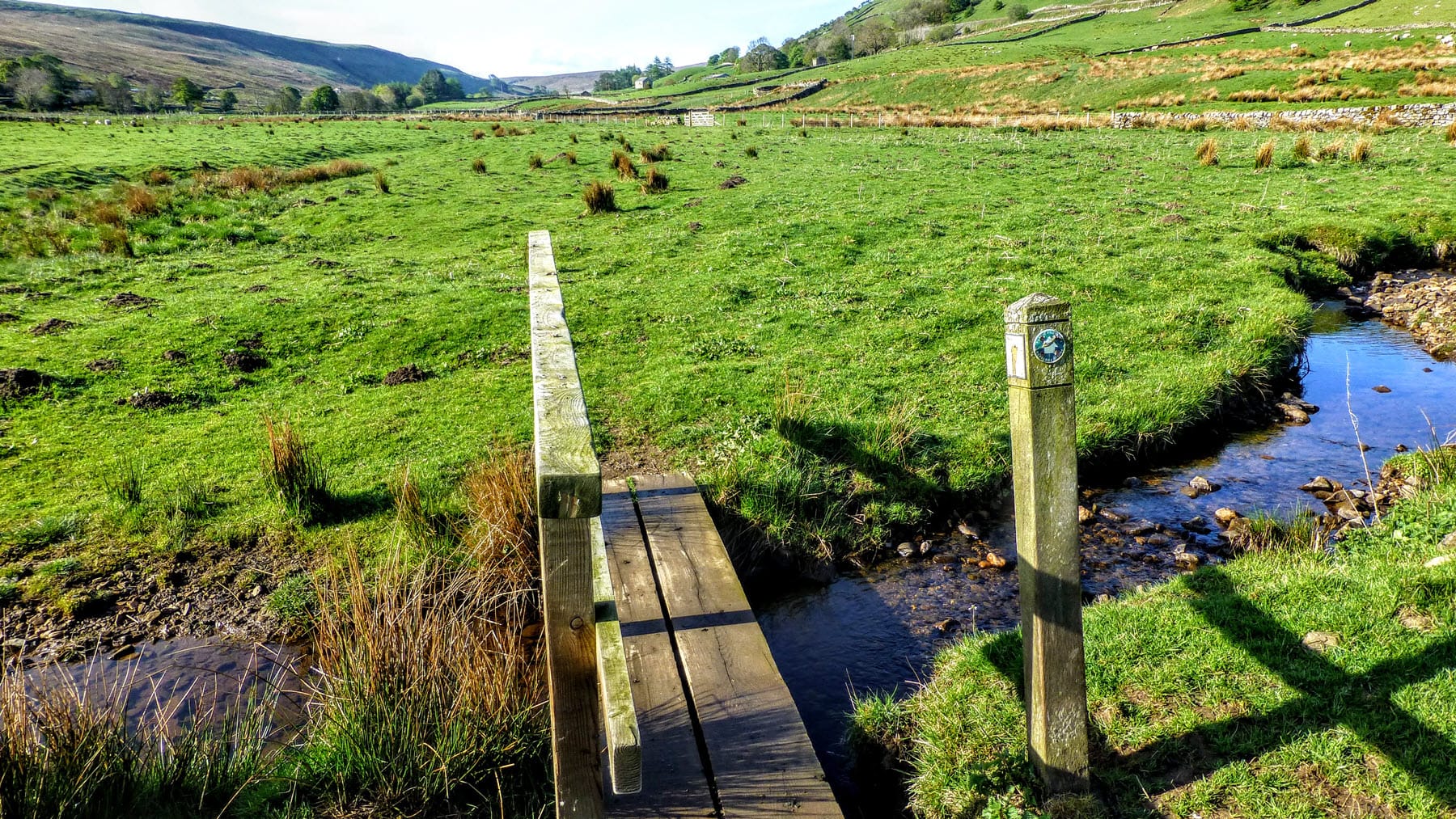
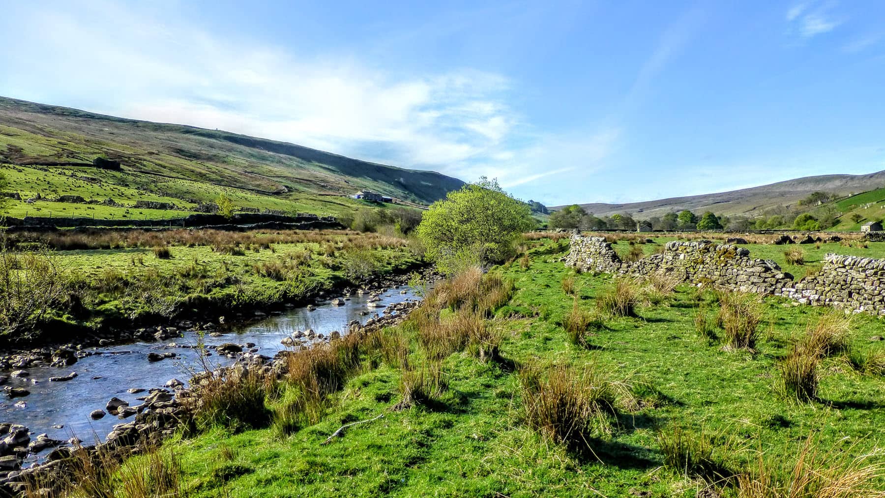
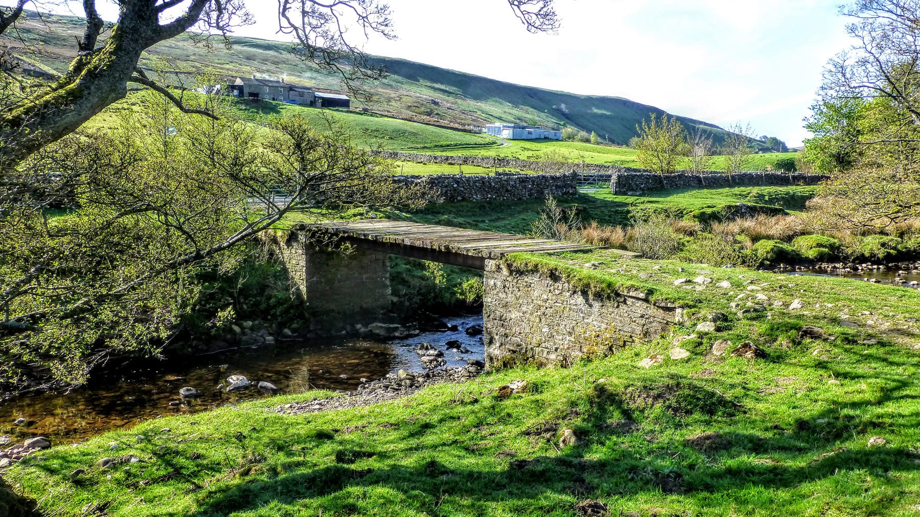
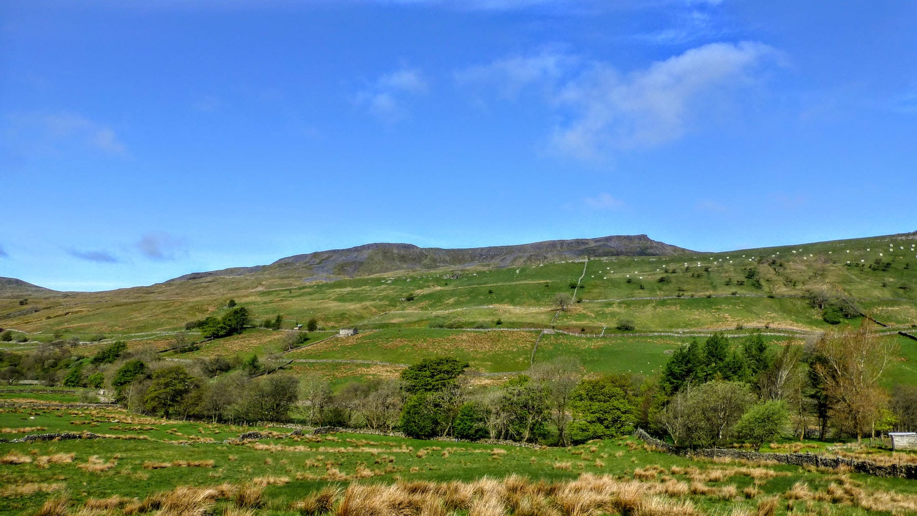
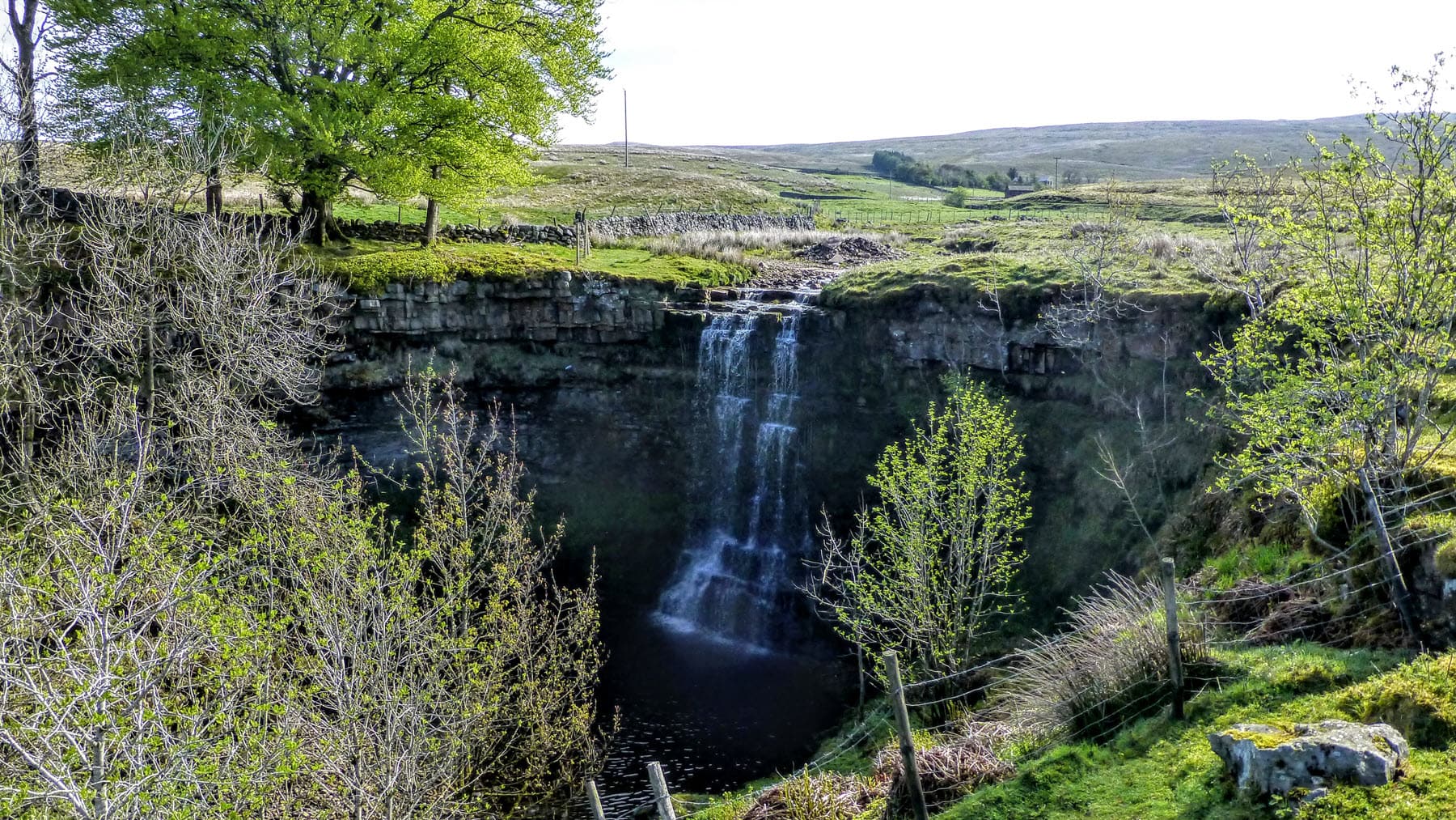
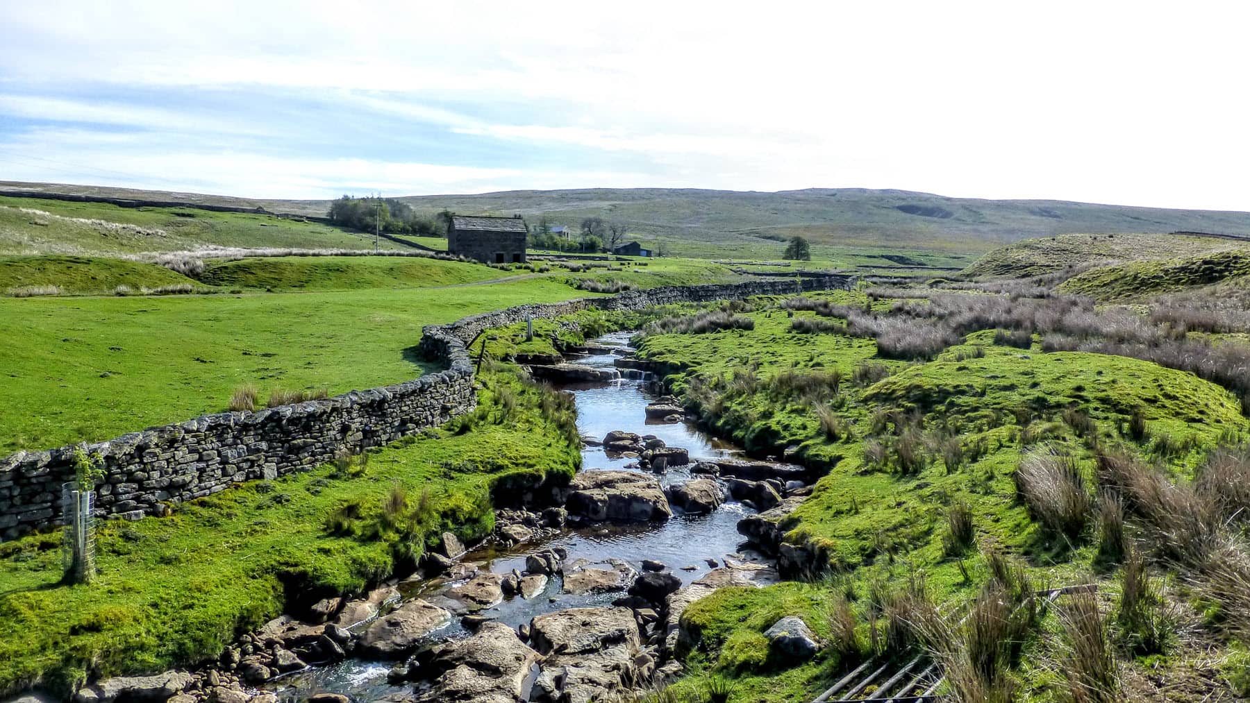
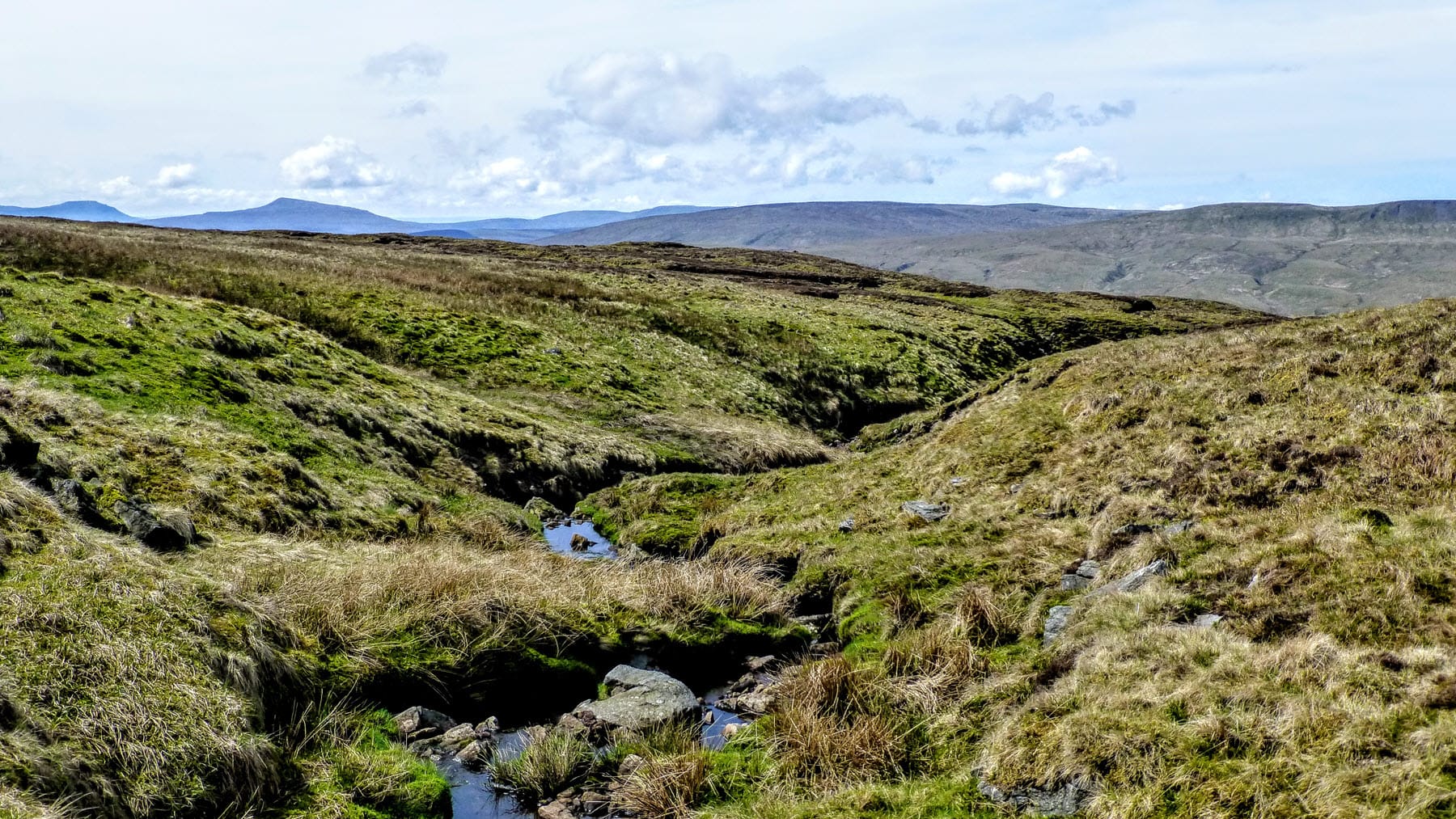
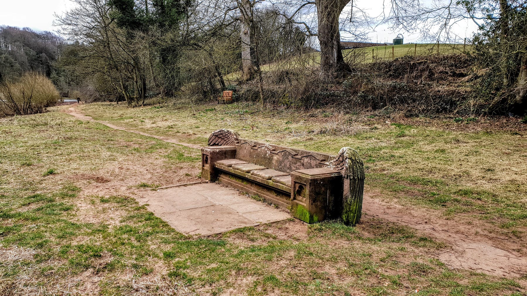
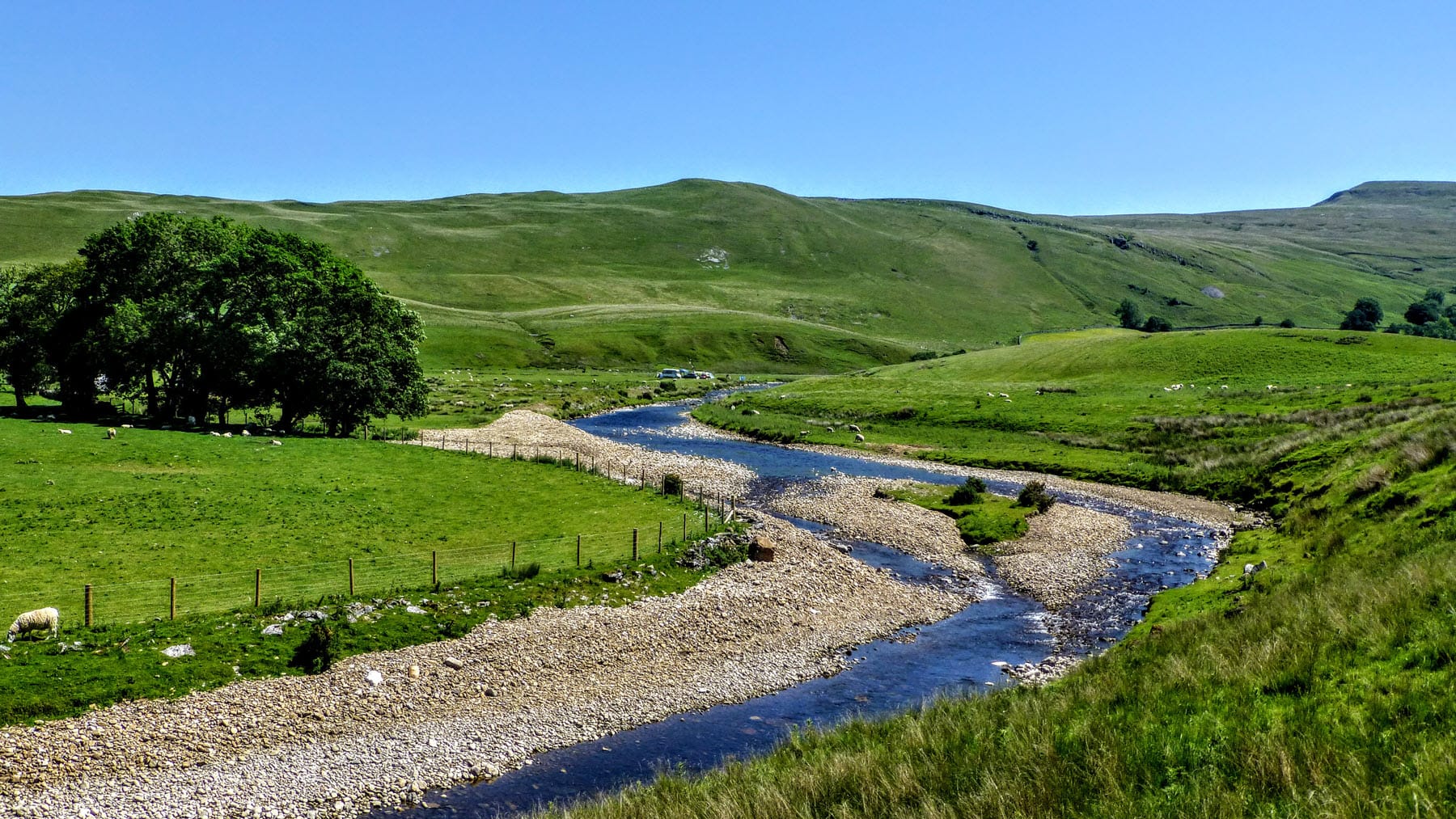
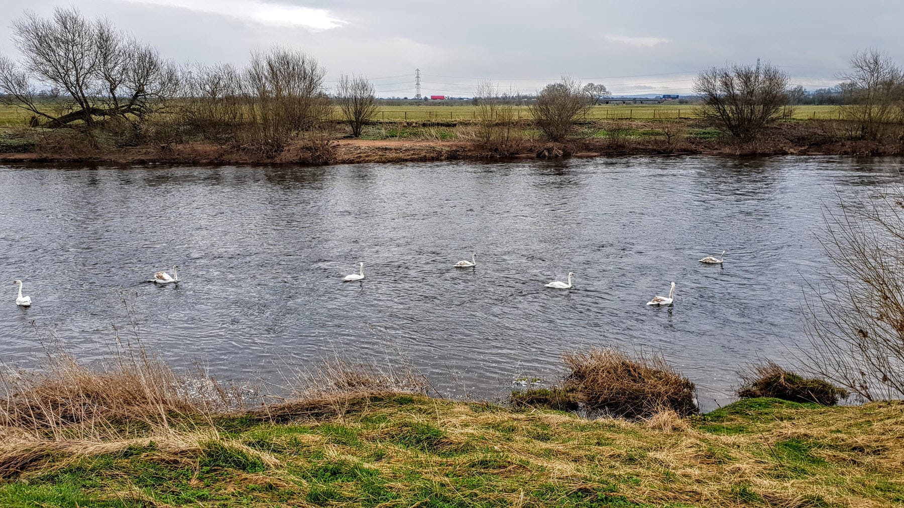
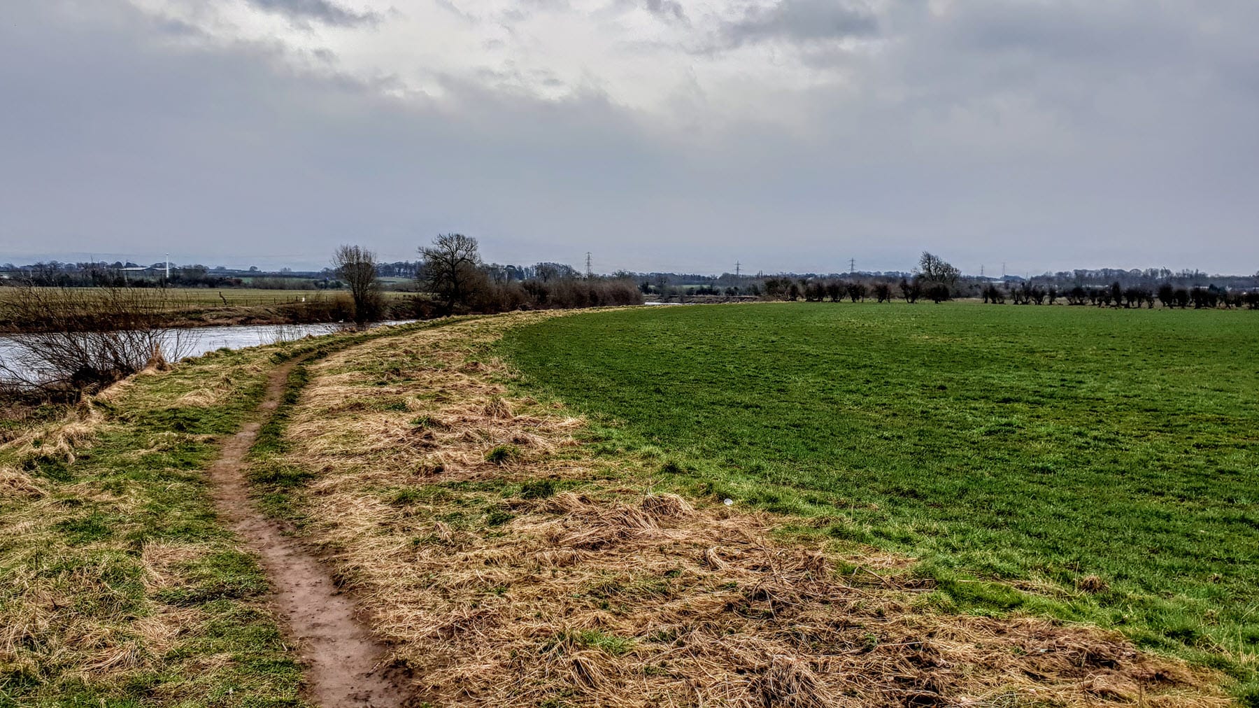
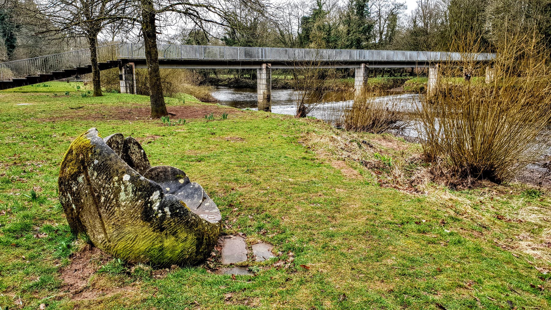
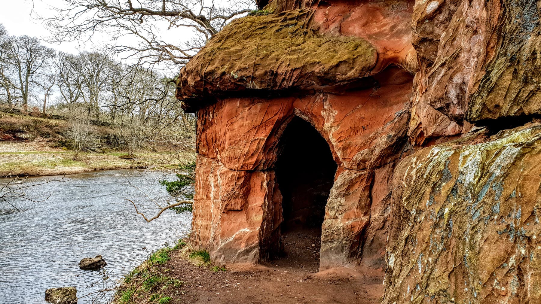
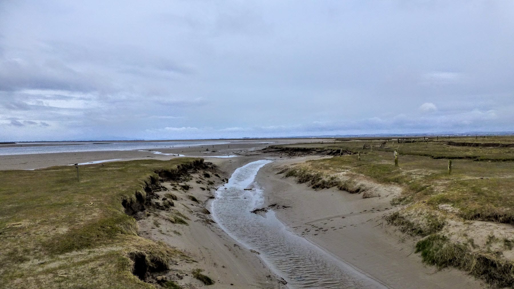
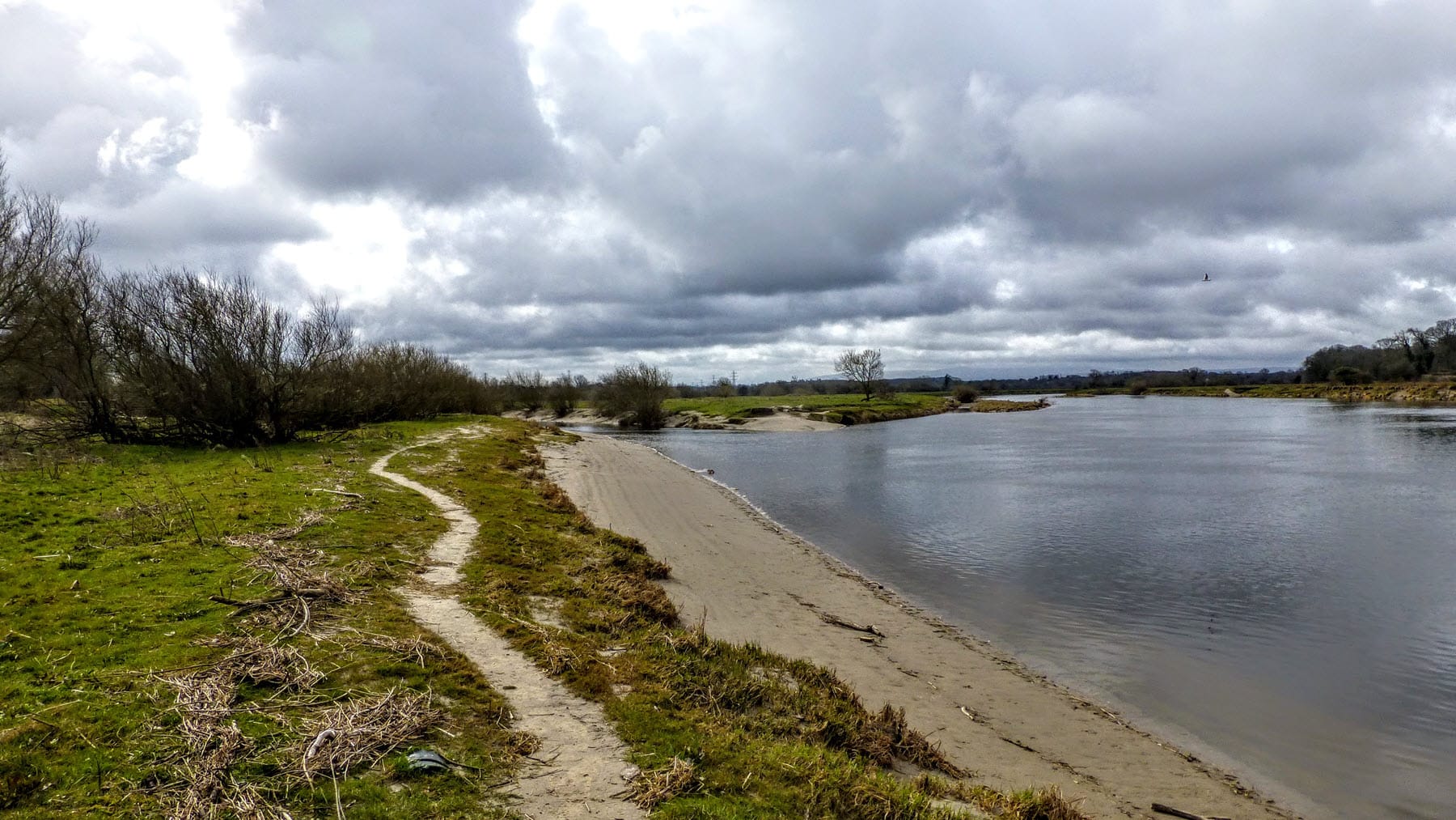
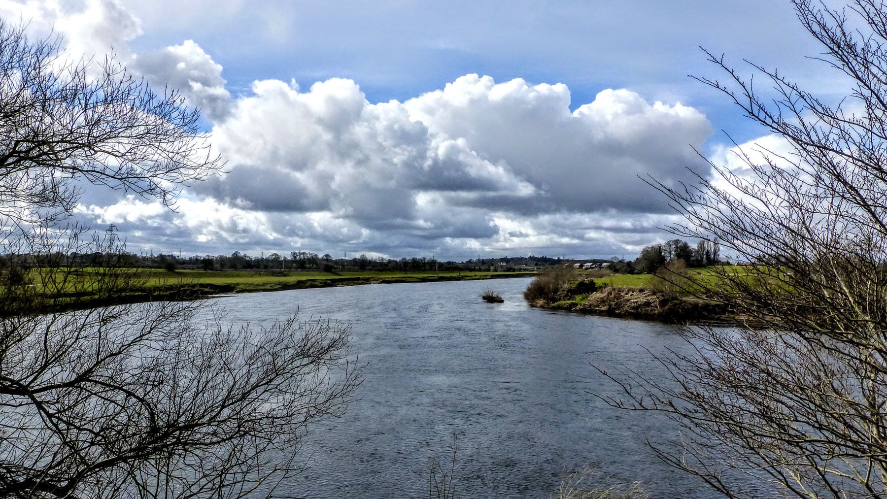
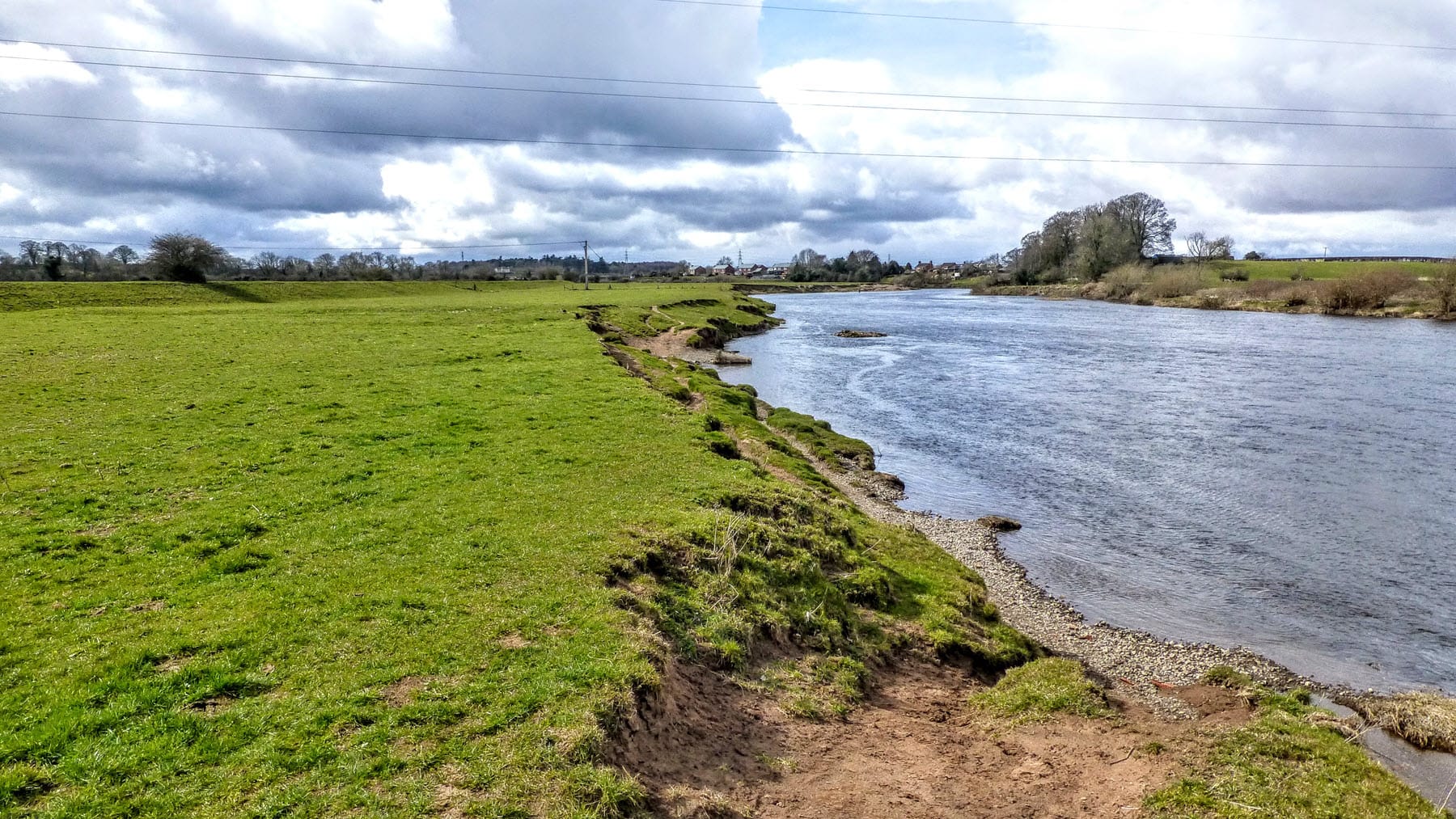
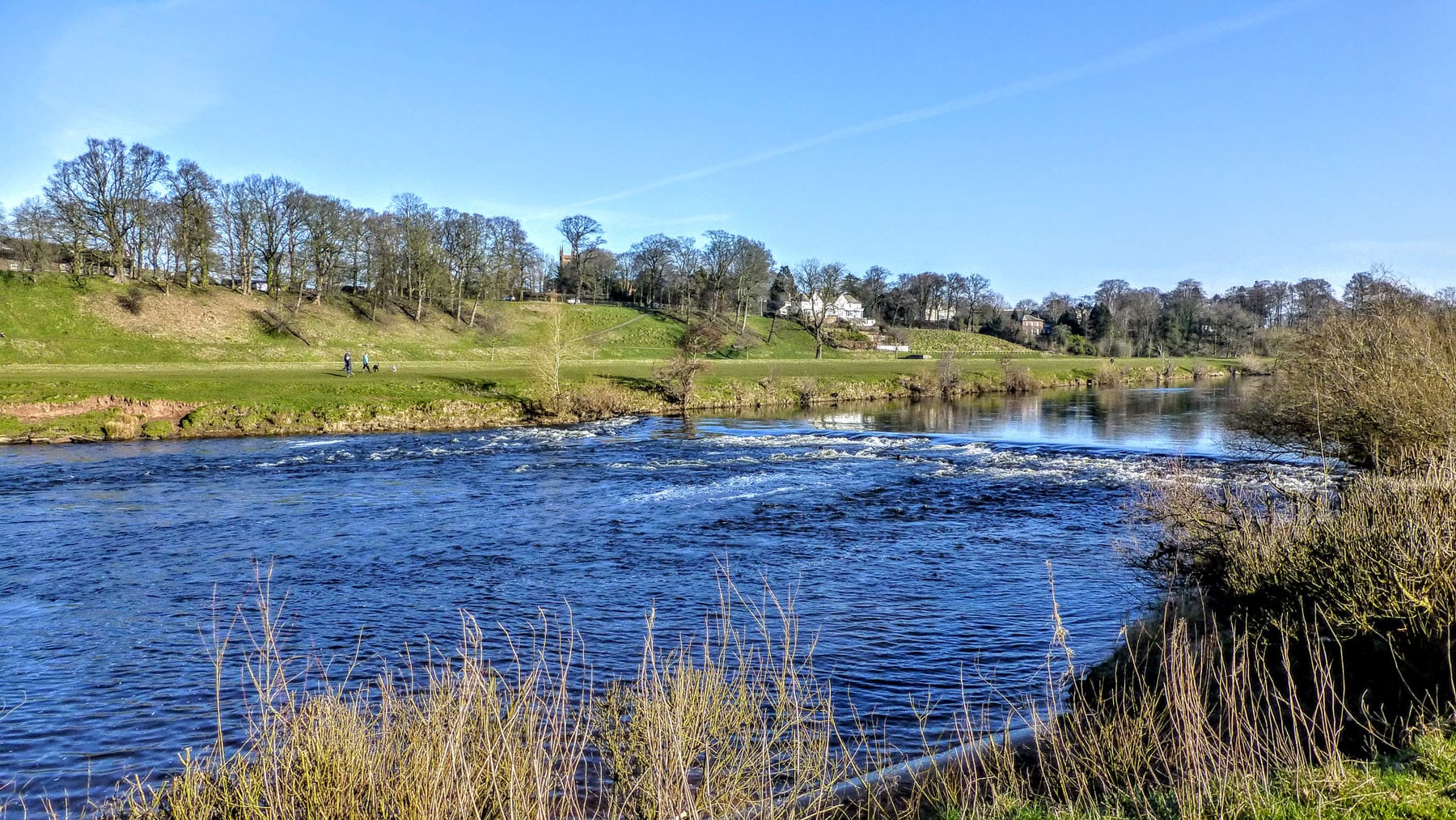
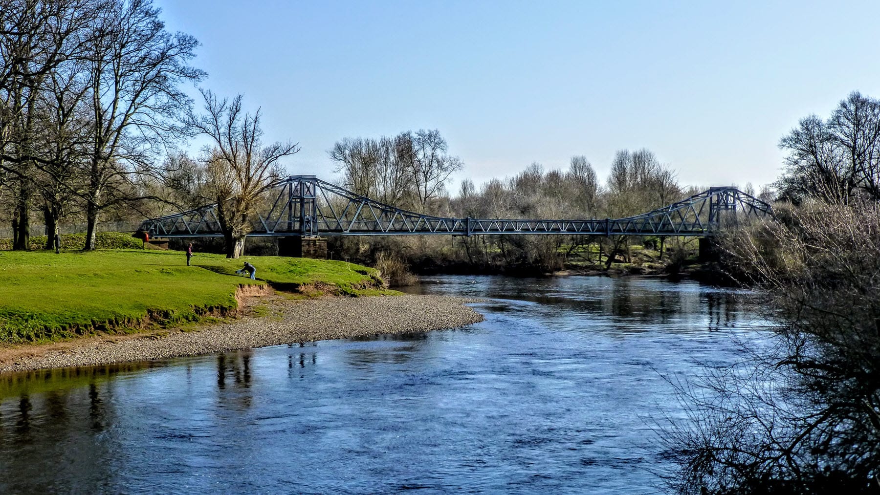
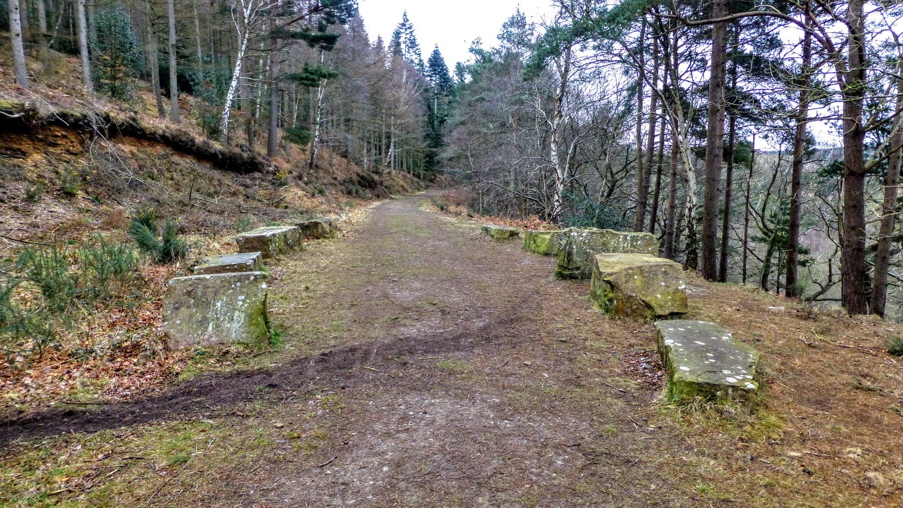
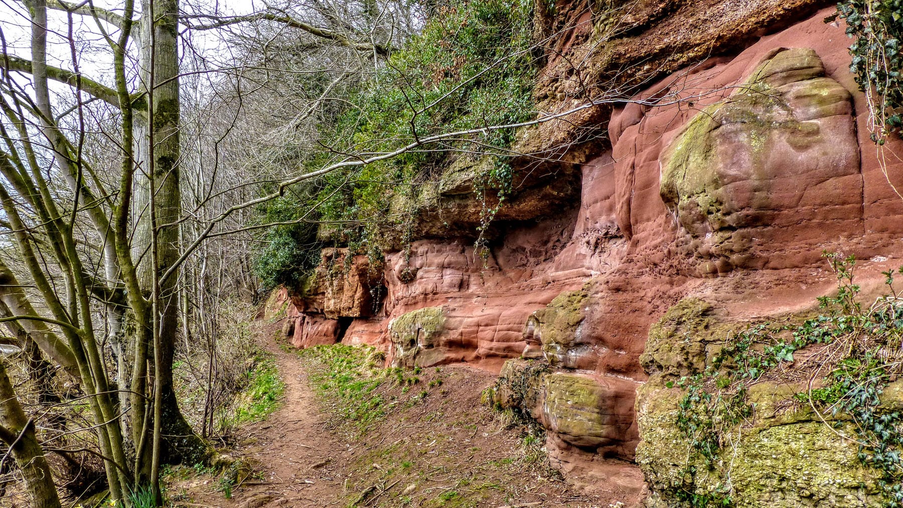
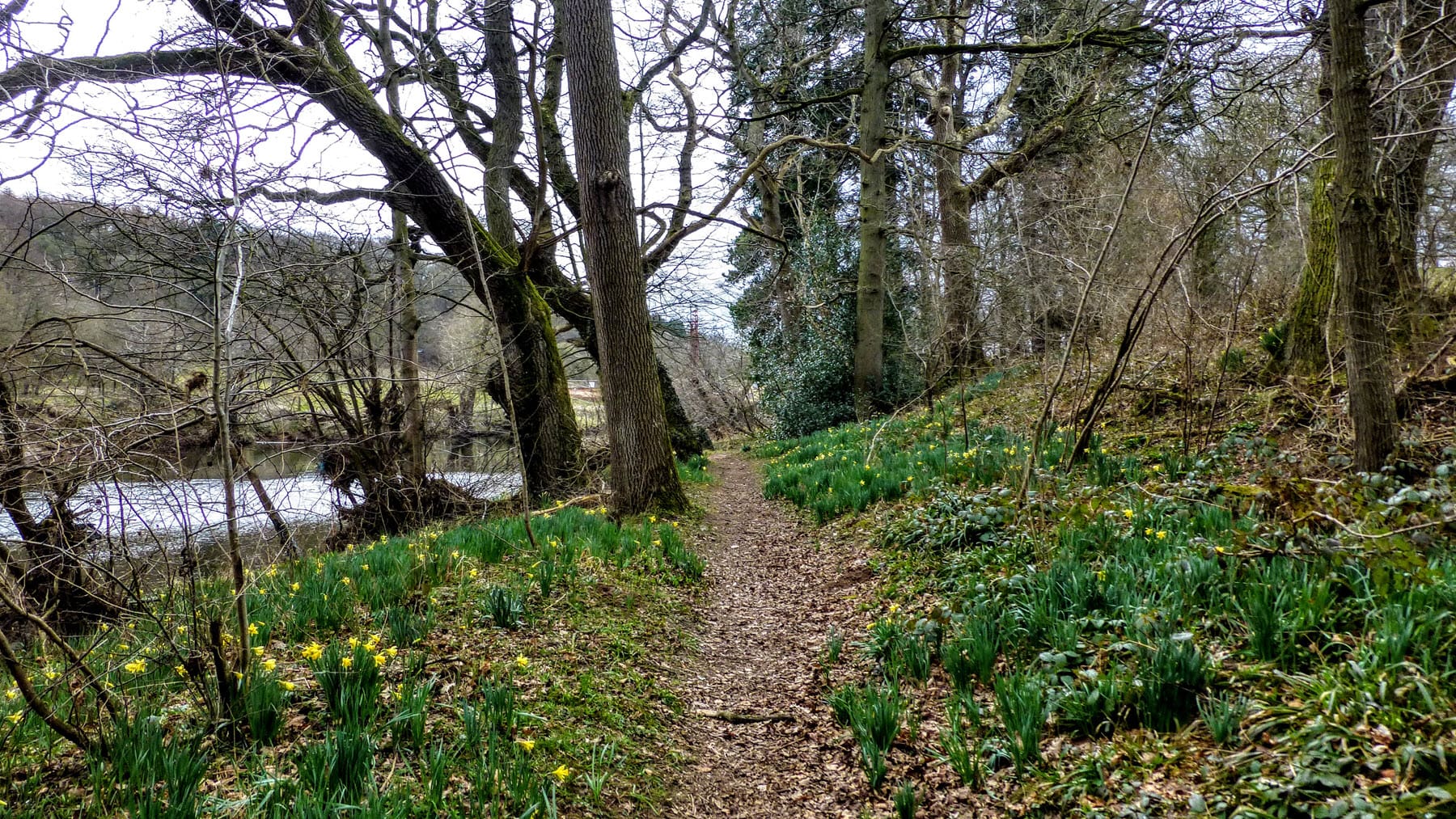
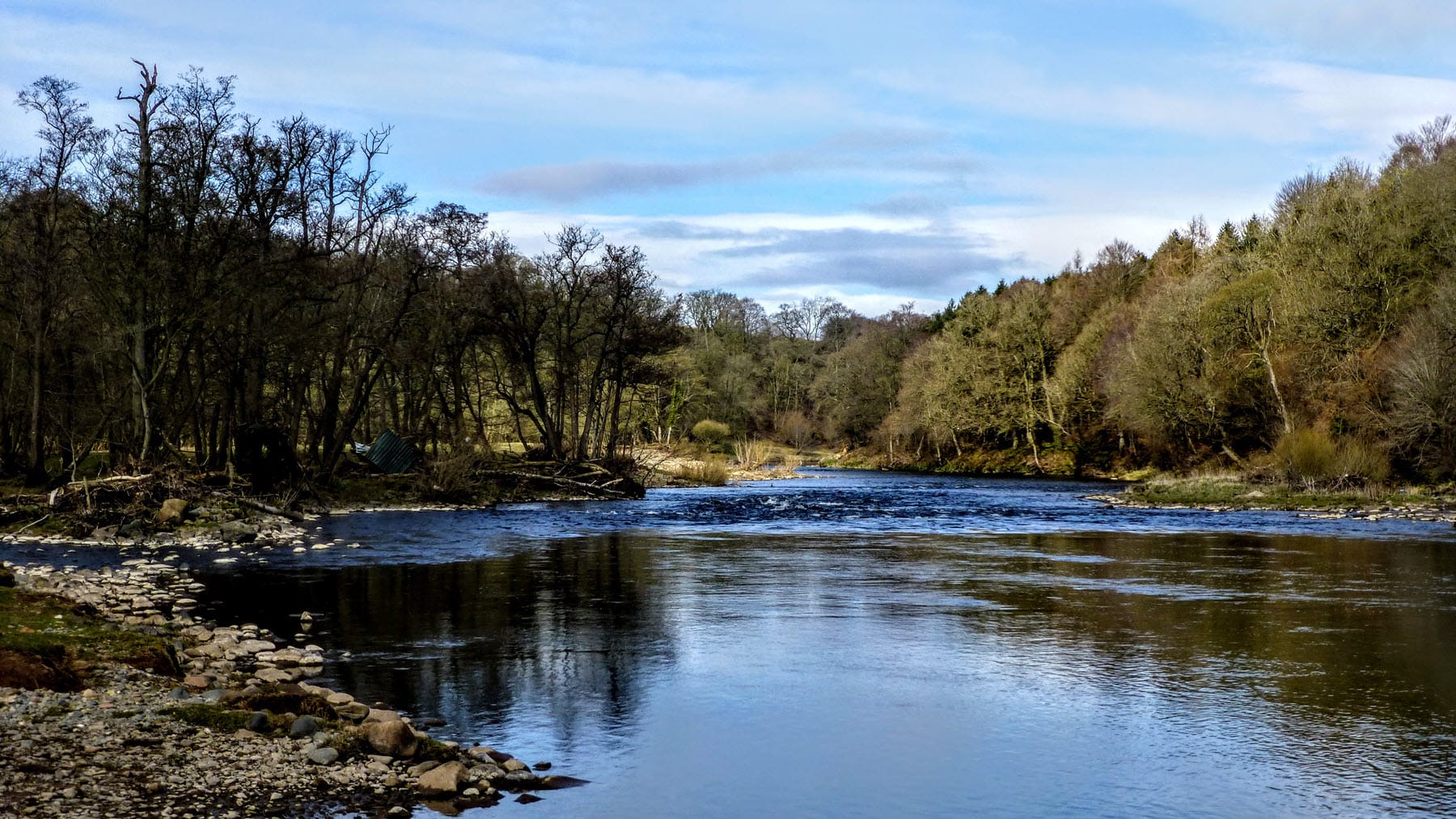
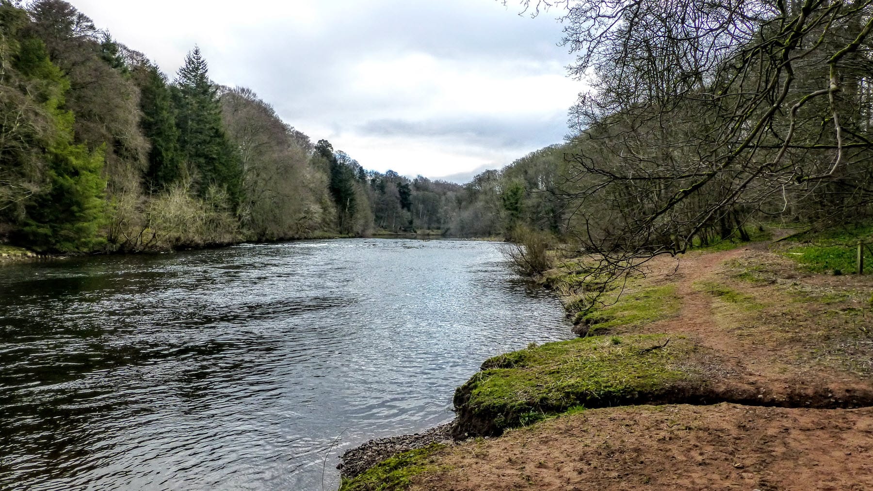
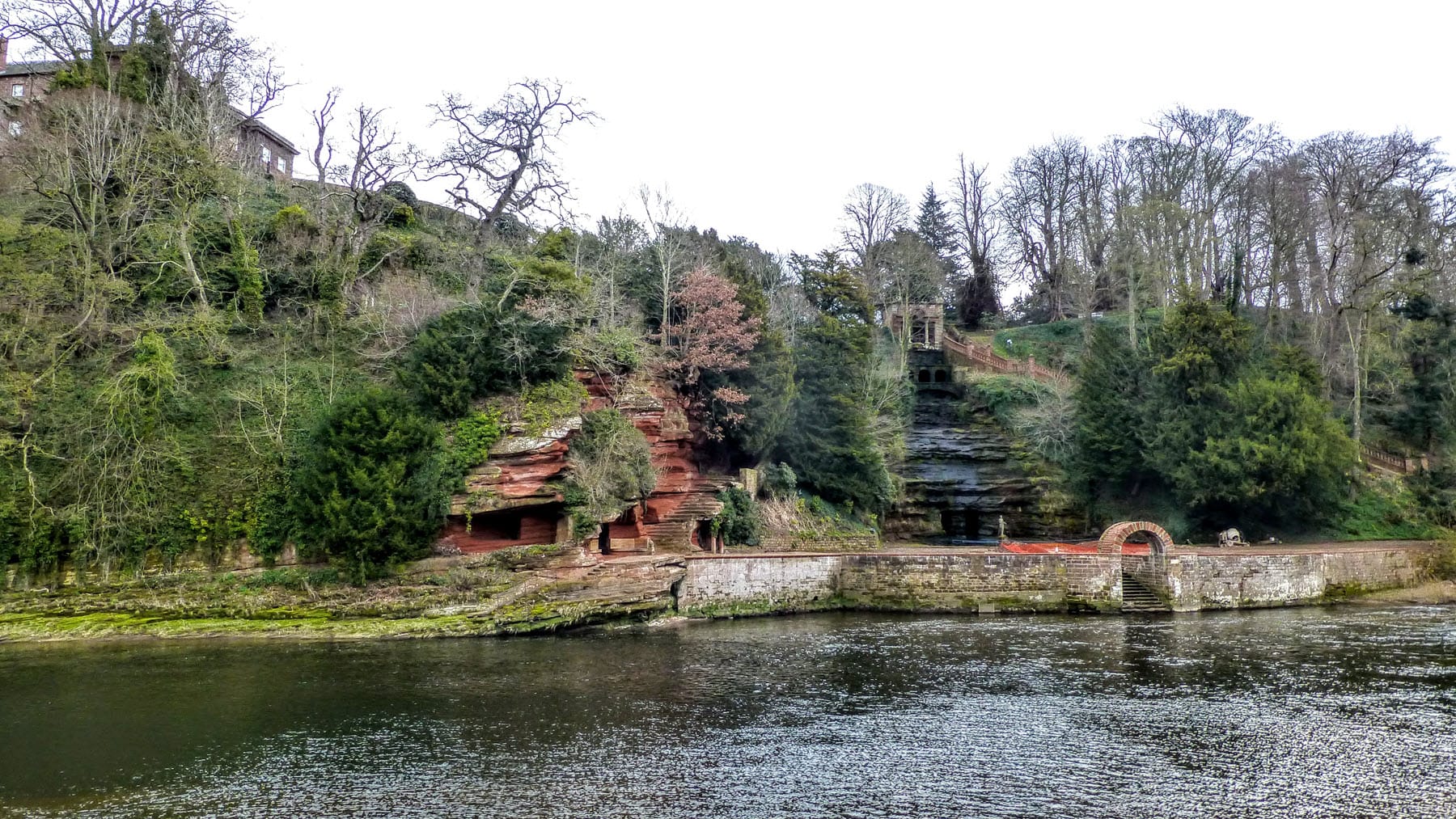
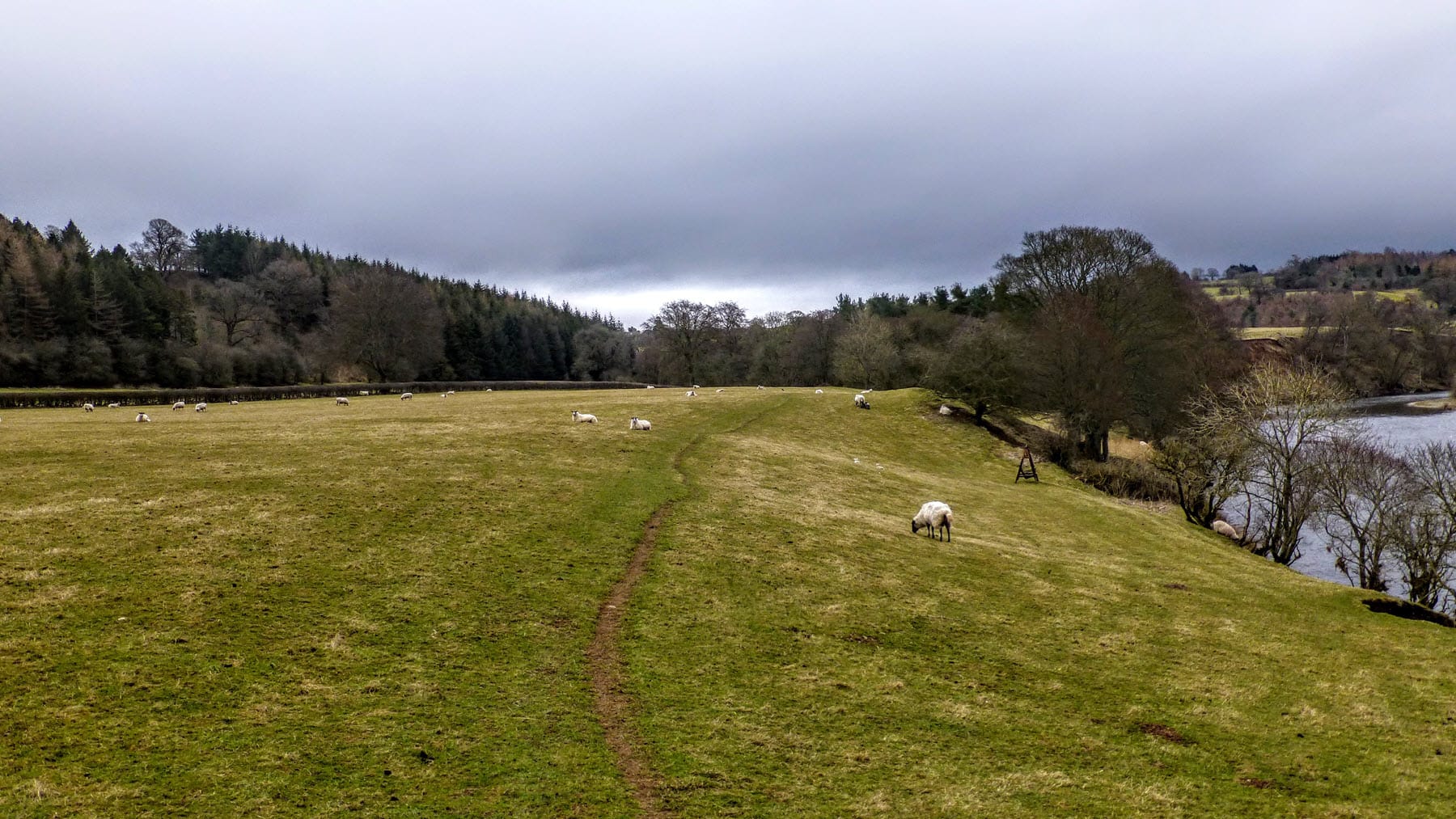
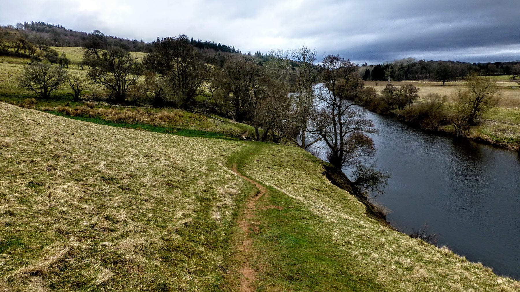
The Eden Way is an 83-mile long distance walk the follows the River Eden, from sea to source. The route runs through the beautiful Eden valley, using shady riverside paths, quiet woodland and lush green meadows. It visits Norman castles, follows in the footsteps of the Roman legions and explores the legacy of notable Westmorland characters such as Lady Anne Clifford and William Mounsey. The close proximity of the Settle-Carlisle line makes for easy access to side trips and accommodation.

The walk begins at the coast and the Solway Firth, seeking out the River Eden as it meets the sea. It then follows the river through Carlisle, Armathwaite, Langwathby and Appleby, beneath the slopes of the Pennine hills, to Kirkby Stephen and then up to the spring which gives it life, on the Mallerstang ridge. Walkers can then continue on, along the Yoredale Way, or follow the Swale Way in reverse, through Swaledale, to Boroughbridge.

The Eden Way is the third book in the Rivers Trilogy – a series of three guide books that follow the course of iconic northern rivers that all spring from the same hillside in North Yorkshire.

The other books in the series can be found on this page.

The Eden Way was featured in The Guardian

Eden Way Guide Book

The route is described in detail in the Eden Way guide book. You can order a copy of this pocket-sized paperback, using the [Buy me] button.

Route Overview

Day One:
Rockcliffe to Carlisle

Distance: Approx 12 mls / 19 km
Height Gain: Approx 500 ft / 152 m
High Point: Etterby (105 ft / 32 m)
Refreshments: None

Day Two:
Carlisle to Armathwaite

Distance: Approx 15 mls / 24 km
Height Gain: Approx 1,200ft / 366 m
High Point: Armathwaite (347 ft / 106 m)
Refreshments: Wetheral (6½ mls / 10.5 km)

Day Three:
A'thwaite to Langwathby

Distance: Approx 11 mls / 18 km
Height Gain: Approx 1,100ft / 335 m
High Point: Coombshead (477 ft / 145 m)
Refreshments: Kirkoswald (5 mls / 8 km)

Day Four:
Langwathby to Appleby

Distance: Approx 15 mls / 24 km
Height Gain: Approx 1,000ft / 305 m
High Point: Thistley Hill (505 ft / 154 m)
Refreshments: None

Day Five:
Appleby to K'by Stephen

Distance: Approx 12 mls / 19 km
Height Gain: Approx 1,000ft / 305 m
High Point: Trickle Banks (582 ft / 177 m)
Refreshments: None

Day Six:
Kirkby Stephen to Garsdale Head

Distance: Approx 13 mls / 21 km
Height Gain: Approx 1,800ft / 549 m
High Point: Johnstone Gill (1,508 ft / 460 m)
Refreshments: None

Eden Way Route Map

Eden Way Shop

Photo Gallery

The gallery includes a selection of images from the route. The photos have been taken over a number of years, at different times of year and in varying weather conditions. They present the many aspects of the walk you can expect to see when you walk it. Click an image to open a larger slideshow.

Frequently Asked Questions

These are some of the most frequently asked questions about this walk, with answers.

The guide book is written to follow the river from the sea to its source. Rockcliffe is fairly remote, despite only being 5 miles or so from Carlisle by road, and It’s often better to get the tricky logistics out of the way to begin with, allowing you to relax at the end of the walk, knowing the train station at Garsdale is close by with easy links to the rest of the country. Starting at the sea also means that we’re walking back to the Yorkshire Dales and this means we have options to extend the walk if time and inclination permits. The Eden Way links seamlessly with the Yoredale Way for instance and it’s a fairly simple task to divert to the Swale Way if desired.

The River Eden passes through the splendid valley of the same name, rich in historical interest and blessed with incredible scenery. Every day spends long periods on riverside paths, allowing a walker to watch the river change its nature slowly before their eyes; from the broad slow sweep of the river at Rockcliffe to the eager, hurried water rushing over rocks and falls at Kirkby Stephen – the river is the highlight of this walk. In terms of surrounding scenery, the climb up to the source provides incredible views over hundreds and hundreds of square miles of hills and valleys, not to mention the beauty of the moorland we need to cross to reach Eden Springs. The walk has something for everyone.

There are places of historic interest scattered all along the Eden valley. Carlisle has a strong Roman association and forms part of the western end of Hadrian’s Wall. The river and its valley have been linked with many historical figures, including William Mounsey, the first person to walk the length of the river and Lady Anne Clifford, an extraordinary 17th century landowner. More recent historical links are found in the Settle-Carlisle railway, one of the most iconic lines in England, dating from the 19th century.

Experienced long distance walkers will not be troubled by any of the stages on the Eden Way. Although a couple of sections are quite long, these days are fairly flat. Navigation is typically fairly simple, using established paths and rights of way wherever possible. The ability to walk for six consecutive days will usually be the biggest shock to the system for someone new to long distance walking.

Each section finishes in close proximity to accommodation, and the Settle-Carlisle railway line is never far away, which can be used to reach additional accommodation close to the walk. All stages finish in a town or village where you will be able to find a B&B, inn or hotel. Public transport links along the route are generally good. Garsdale at the end of the Way, has a train station to get you back home. Getting to the start of the walk at Rockcliffe will require the use of a car, either a taxi or a friend, as no public transport links are available in this little village.

Almost every section of the Eden Way has its own merits and every section can be easily covered as a day walk, using the Settle-Carlisle line to create linear walks between the stations. However, the final day from Kirkby Stephen, up to the source of the Eden offers some incredible scenery and a rewarding ascent to a fantastic view point above Mallerstang. It’s almost possible to look back along the length of the walk and the views into Yorkshire and across the Cumbrian Fells more than compensate for the effort invested in the climb.

If you don’t see the answer to your question above, or in the comments below, then please feel free to ask it. All questions will get a response and even if you’re completely new to multi-day walks, there’s no such thing as a silly question, so please ask away!

Tell Us About Your Walk

If you’ve walked any of our routes, please share your experience with other walkers, or tell us of any issues with a book or the route notes! Use the comments form below.

4 Responses

  1. Hello,
    For all sorts of reasons, and despite the comment about logistics, I’m planning to follow the flow and walk the path this autumn ivn the ‘wrong’ direction. Is the path way marked so that it can be tackled this way, and is it marked on the OS explorer maps?
    With thanks for any info you can offer
    Regards, Nick

    1. Nick, unfortunately not. The path is not waymarked, nor is it marked on the OS maps. However, you should be able to follow the route in reverse, using the maps provided with the book. You’d have to ignore the annotations, but the route is highlighted.
      It’s a great walk and I hope you enjoy it as much as I do.

  2. Hi Stuart, Just to let you know that the route downloads for th eEden Way seem to lead to a 404 page -https://www.pocketroutes.co.uk/files/eden_way_full.mmo

Leave a Comment

This site uses Akismet to reduce spam. Learn how your comment data is processed.